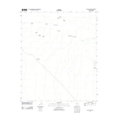
2011 Map of Palm Canyon
USGS Topo · Published 2011About this map
Stagecoach Pass serves as a historical gateway through the high ridges of the Kofa Mountains in Yuma County. This modern survey illustrates a landscape dominated by dramatic vertical relief, where isolated peaks like Signal Peak, Squaw Peak, and Summit Peak overlook a complex system of drainage and erosion. The presence of Squaw Tanks and Hoodoo Wash highlights the importance of ephemeral water sources and natural catchment basins in this arid environment. The map details numerous named canyons including Palm Canyon, Ten Ewe Canyon, and Big Dick Canyon, which carve through the volcanic formations. For the historian or researcher, the preservation of names like Old Smokey Mountain and Old Palm Canyon provides continuity between older trail systems and current geographic records.
Find a feature on this map
16 named features on this map. Tap any name to fly to it.
Don’t see what you’re looking for? This feature index may not catch every label — zoom into the map to look around manually.
Map Details
Editions of this 2011 Palm Canyon Map
This is the sole edition of this map. No revisions or reprints were ever made.
Other maps of this area

1942 · Blythe
USGS Topo · 1:250,000

1942 · Vicksburg
USGS Topo · 1:250,000

1954 · Salton Sea
USGS Topo · 1:250,000

1954 · Phoenix
USGS Topo · 1:250,000

1955 · Salton Sea
USGS Topo · 1:250,000

1957 · Phoenix
USGS Topo · 1:250,000

1958 · Phoenix
USGS Topo · 1:250,000

1959 · Salton Sea
USGS Topo · 1:250,000

1960 · Phoenix
USGS Topo · 1:250,000

1962 · Kofa Butte
USGS Topo · 1:62,500