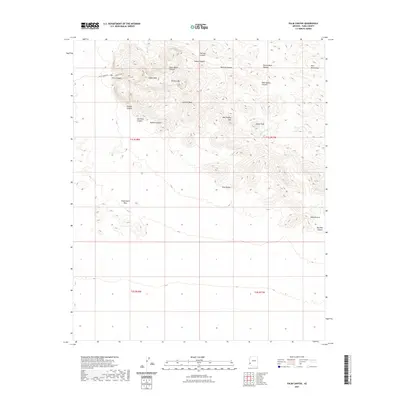
2021 Map of Palm Canyon
USGS Topo · Published 2021About this map
Signal Peak towers over this section of the Kofa Mountains in southwestern Arizona, marking one of the most distinctive landscapes in the region. The high desert terrain is carved by a complex network of drainages, including Kofa Queen Canyon, Summit Canyon, and Indian Canyon. These corridors lead toward the notable Palm Canyon, where the Palm Canyon Trl provides access to unique botanical and geological formations.
Find a feature on this map
27 named features on this map. Tap any name to fly to it.
Don’t see what you’re looking for? This feature index may not catch every label — zoom into the map to look around manually.
Map Details
Editions of this 2021 Palm Canyon Map
This is the sole edition of this map. No revisions or reprints were ever made.
Other maps of this area

1942 · Blythe
USGS Topo · 1:250,000

1942 · Vicksburg
USGS Topo · 1:250,000

1954 · Salton Sea
USGS Topo · 1:250,000

1954 · Phoenix
USGS Topo · 1:250,000

1955 · Salton Sea
USGS Topo · 1:250,000

1957 · Phoenix
USGS Topo · 1:250,000

1958 · Phoenix
USGS Topo · 1:250,000

1959 · Salton Sea
USGS Topo · 1:250,000

1960 · Phoenix
USGS Topo · 1:250,000

1962 · Kofa Butte
USGS Topo · 1:62,500