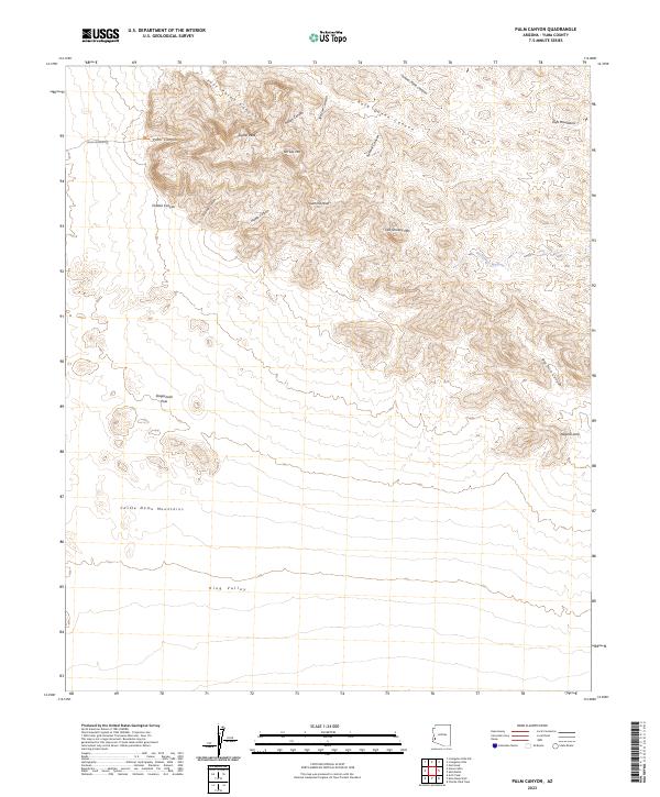
2023 Map of Palm Canyon
USGS Topo · Published 2023About this map
Signal Peak rises as the prominent landmark within this portion of the Kofa Wilderness, a high desert landscape characterized by sharp ridgelines and deep drainage systems. The survey documents a network of named canyons, including Four Palms Canyon, Indian Canyon, and Kofa Queen Canyon, which flow out from the Kofa Mountains toward the expansive King Valley. The southern portion of the map is anchored by the northern reaches of the Castle Dome Mountains. Local topography is detailed through several distinct summits like Ten Ewe Mtn and Old Smokey Mtn. In terms of navigation and access, the map highlights Palm Canyon Rd and the Palm Canyon Trl, providing passage toward the Stagecoach Pass. Unique natural features such as the Natural Arch and the winding Hoodoo Wash are clearly delineated, offering valuable reference points for those studying the physical geography of Yuma County.
Find a feature on this map
28 named features on this map. Tap any name to fly to it.
Don’t see what you’re looking for? This feature index may not catch every label — zoom into the map to look around manually.
Map Details
Editions of this 2023 Palm Canyon Map
This is the sole edition of this map. No revisions or reprints were ever made.
Other maps of this area

1942 · Blythe
USGS Topo · 1:250,000

1942 · Vicksburg
USGS Topo · 1:250,000

1954 · Salton Sea
USGS Topo · 1:250,000

1954 · Phoenix
USGS Topo · 1:250,000

1955 · Salton Sea
USGS Topo · 1:250,000

1957 · Phoenix
USGS Topo · 1:250,000

1958 · Phoenix
USGS Topo · 1:250,000

1959 · Salton Sea
USGS Topo · 1:250,000

1960 · Phoenix
USGS Topo · 1:250,000

1962 · Kofa Butte
USGS Topo · 1:62,500