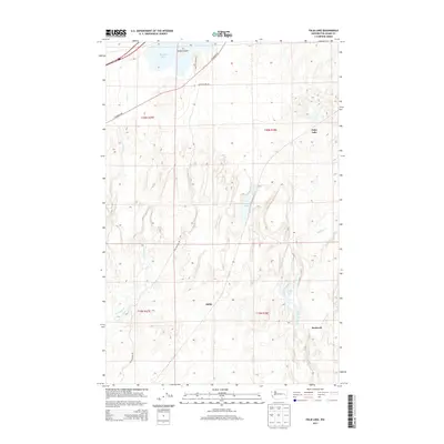
2013 Map of Palm Lake
USGS Topo · Published 2013About this map
Sprague Lake and its prominent Harper Island anchor the northern landscape of this region along the Washington-Adams Co. border. The terrain is defined by a network of drainage systems and intermittent water bodies, including Palm Lake, Green Lake, and the winding course of McElroy Creek. Small local settlements such as Ashby and Rockwell provide historical context for the rural habitation patterns found in this portion of the Channeled Scablands.
Find a feature on this map
19 named features on this map. Tap any name to fly to it.
Don’t see what you’re looking for? This feature index may not catch every label — zoom into the map to look around manually.
Map Details
Editions of this 2013 Palm Lake Map
This is the sole edition of this map. No revisions or reprints were ever made.
Other maps of this area

1953 · Ritzville
USGS Topo · 1:250,000

1954 · Sprague
USGS Topo · 1:62,500

1955 · Spokane
USGS Topo · 1:250,000

1958 · Spokane
USGS Topo · 1:250,000

1959 · Ritzville
USGS Topo · 1:250,000

1964 · Lamont NW
USGS Topo · 1:24,000

1964 · Karakul Hills
USGS Topo · 1:24,000

1964 · Revere
USGS Topo · 1:24,000

1964 · Macall
USGS Topo · 1:24,000

1964 · Palm Lake
USGS Topo · 1:24,000