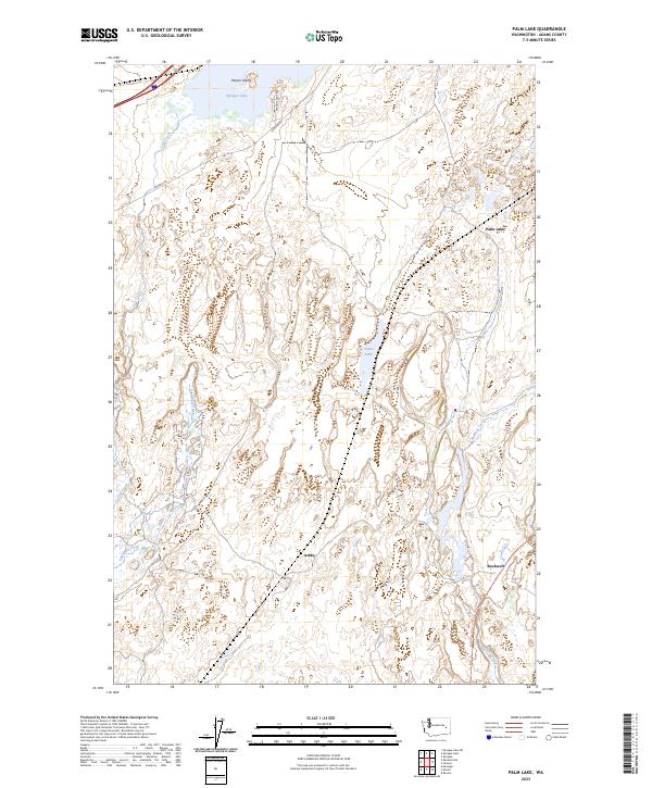
2023 Map of Palm Lake
USGS Topo · Published 2023About this map
Sprague Lake dominates the northwest corner of this landscape in Adams County, where the rocky terrain of the Channeled Scablands meets modern recreational and transportation corridors. The map identifies the small, quiet locales of Ashby and Rockwell, which sit along the path of the Columbia Plateau State Park Trl. This trail follows an important historical rail alignment that once moved goods and people through the arid interior of Washington. Water defines the topography here, from the larger expanse of Sprague Lake and its prominent Harper Island to the smaller, secluded Palm Lake. The drainage network, including Cow Creek, McElroy Creek, and Lugenbeal Creek, illustrates how seasonal flows have carved into the basalt. Rural access is maintained via Danekas Rd and Sprague Lake Rd, connecting the scattered ranchlands and townships.
Find a feature on this map
16 named features on this map. Tap any name to fly to it.
Don’t see what you’re looking for? This feature index may not catch every label — zoom into the map to look around manually.
Map Details
Editions of this 2023 Palm Lake Map
This is the sole edition of this map. No revisions or reprints were ever made.
Other maps of this area

1953 · Ritzville
USGS Topo · 1:250,000

1954 · Sprague
USGS Topo · 1:62,500

1955 · Spokane
USGS Topo · 1:250,000

1958 · Spokane
USGS Topo · 1:250,000

1959 · Ritzville
USGS Topo · 1:250,000

1964 · Lamont NW
USGS Topo · 1:24,000

1964 · Karakul Hills
USGS Topo · 1:24,000

1964 · Revere
USGS Topo · 1:24,000

1964 · Macall
USGS Topo · 1:24,000

1964 · Palm Lake
USGS Topo · 1:24,000