
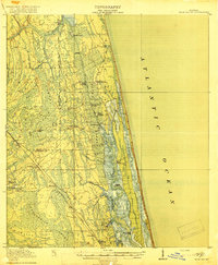
1918 Map of Palm Valley
USGS Topo · Published 1918About this map
The Florida East Coast RR defines the western corridor of this coastal landscape, passing through railroad-oriented settlements like Durbin, Hilden, and Sampson. This pre-development era is characterized by vast, intricate wetlands including Durbin Swamp and the expansive Twelvemile Swamp, which restricted overland travel primarily to the rail line and a few early tracks.
Find a feature on this map
40 named features on this map. Tap any name to fly to it.
Don’t see what you’re looking for? This feature index may not catch every label — zoom into the map to look around manually.
Map Details
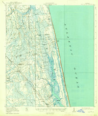
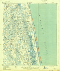
Editions of this 1918 Palm Valley Map
4 editions found
Other maps of this area

1917 · Orange Park
USGS Topo · 1:62,500

1918 · Jacksonville
USGS Topo · 1:62,500

1918 · Orange Park
USGS Topo · 1:62,500

1918 · Mayport
USGS Topo · 1:62,500

1937 · Bakersville
USGS Topo · 1:24,000

1937 · St. Augustine
USGS Topo · 1:24,000

1943 · St. Augustine
USGS Topo · 1:62,500

1947 · Bostwick
USGS Topo · 1:50,000

1948 · Jacksonville
USGS Topo · 1:250,000

1948 · Jacksonville Beach
USGS Topo · 1:24,000