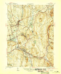
1946 Map of Palmer
USGS Topo · Published 1946About this map
The confluence of the Swift River, Ware River, and Quaboag River forms a complex industrial and transport hub at Three Rivers and Palmer. This mid-century survey captures a landscape defined by water power and rail connections, with the Central Vermont Railroad and Boston and Albany Railroad intersecting near the town center. Local industry and infrastructure are well-documented, from the State Fish Hatchery near Forest Lake to the sprawling grounds of the State Hospital and the municipal Palmer Res. Small mill settlements like Thorndike and Bondsville appear fully established along the riverbanks, while the surrounding hills such as Mt Dumplin and Chicopee Mtn hem in the developed valleys. The presence of a Landing Field and numerous named ponds like Pattaquattic Pond highlights the region's mid-1940s transition toward modern utility and recreation.
Find a feature on this map
49 named features on this map. Tap any name to fly to it.
Don’t see what you’re looking for? This feature index may not catch every label — zoom into the map to look around manually.
Map Details
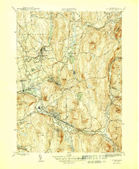
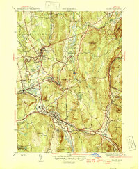
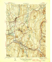
Editions of this 1946 Palmer Map
4 editions found
Other maps of this area

1887 · Brookfield
USGS Topo · 1:62,500

1887 · Palmer
USGS Topo · 1:62,500

1887 · Belchertown
USGS Topo · 1:62,500

1887 · Barre
USGS Topo · 1:62,500

1889 · Palmer
USGS Topo · 1:62,500

1889 · Barre
USGS Topo · 1:62,500

1890 · Belchertown
USGS Topo · 1:62,500

1890 · Brookfield
USGS Topo · 1:62,500

1893 · Palmer
USGS Topo · 1:62,500

1893 · Belchertown
USGS Topo · 1:62,500