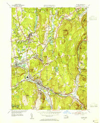
1954 Map of Palmer
USGS Topo · Published 1955About this map
The Ware River, Swift River, and Quaboag River converge at the village of Three Rivers, forming a complex hydrological and industrial crossroads in central Massachusetts. This 1954 revision documents the region's mid-century landscape, where rail infrastructure from the Boston and Albany Railroad and Central Vermont Railway dictates the growth of industrial settlements like Bondsville and Thorndike. These textile and manufacturing centers are tightly packed between the waterways and steep terrain of Mt Dumplin and Kings Mtn.
Find a feature on this map
62 named features on this map. Tap any name to fly to it.
Don’t see what you’re looking for? This feature index may not catch every label — zoom into the map to look around manually.
Map Details
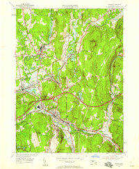
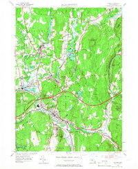
Editions of this 1954 Palmer Map
3 editions found
Other maps of this area

1887 · Brookfield
USGS Topo · 1:62,500

1887 · Palmer
USGS Topo · 1:62,500

1887 · Belchertown
USGS Topo · 1:62,500

1887 · Barre
USGS Topo · 1:62,500

1889 · Palmer
USGS Topo · 1:62,500

1889 · Barre
USGS Topo · 1:62,500

1890 · Belchertown
USGS Topo · 1:62,500

1890 · Brookfield
USGS Topo · 1:62,500

1893 · Palmer
USGS Topo · 1:62,500

1893 · Belchertown
USGS Topo · 1:62,500