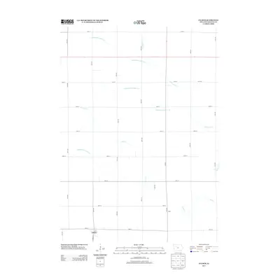
2013 Map of Palmer
USGS Topo · Published 2013About this map
Palmer and its surrounding agricultural landscape are defined by a sophisticated system of engineered waterways designed to manage the Iowa plains. The town site is structured around Main St and Henrietta Ave, while the broader township is dominated by the hydrology of Lizard Cr and its northern branch, N Br Lizard Cr. The map reveals the extensive drainage network critical to local farming, including Drainage Ditch Number 169, Drainage Ditch Number 116, and Drainage Ditch Number 164. This 2013 survey illustrates the modern grid-iron road system, featuring routes like 250th Ave and 510th St, that connects isolated settlements like Buda to larger centers. To the east, Lizard Lake serves as a prominent natural landmark amidst the highly managed watershed.
Find a feature on this map
28 named features on this map. Tap any name to fly to it.
Don’t see what you’re looking for? This feature index may not catch every label — zoom into the map to look around manually.
Map Details
Editions of this 2013 Palmer Map
This is the sole edition of this map. No revisions or reprints were ever made.
Other maps of this area

1954 · Fort Dodge
USGS Topo · 1:250,000

1957 · Fort Dodge
USGS Topo · 1:250,000

1958 · Fort Dodge
USGS Topo · 1:250,000

1979 · Pocahontas
USGS Topo · 1:24,000

1979 · Gilmore City SW
USGS Topo · 1:24,000

1979 · Manson
USGS Topo · 1:24,000

1979 · Pomeroy
USGS Topo · 1:24,000

1979 · Gilmore City
USGS Topo · 1:24,000

1979 · Palmer
USGS Topo · 1:24,000

1980 · Rolfe
USGS Topo · 1:24,000