
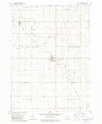
1980 Map of Rolfe
USGS Topo · Published 1980About this map
The city of Rolfe serves as the hub of this prairie landscape, where the Chicago and North Western railroad corridor shapes the town's orientation and development. This 1980 survey reveals a community anchored by several local burial grounds, including St Margarets Cem, Clinton-Garfield Cem, and Powhatan Cem further to the northwest. The surrounding countryside is defined by the winding paths of Beaver Creek, Pilot Creek, and Crooked Creek, which drain the agricultural land into the North Branch Lizard Creek.
Find a feature on this map
17 named features on this map. Tap any name to fly to it.
Don’t see what you’re looking for? This feature index may not catch every label — zoom into the map to look around manually.
Map Details
Editions of this 1980 Rolfe Map
This is the sole edition of this map. No revisions or reprints were ever made.
Other maps of this area

1954 · Fort Dodge
USGS Topo · 1:250,000

1957 · Fort Dodge
USGS Topo · 1:250,000

1958 · Fort Dodge
USGS Topo · 1:250,000

1979 · Pocahontas
USGS Topo · 1:24,000

1979 · Gilmore City
USGS Topo · 1:24,000

1979 · Palmer
USGS Topo · 1:24,000

1980 · Havelock
USGS Topo · 1:24,000
1980 · Mallard
USGS Topo · 1:24,000

1980 · Plover
USGS Topo · 1:24,000

1980 · West Bend
USGS Topo · 1:24,000