
1980 Map of Plover
USGS Topo · Published 1980About this map
Plover sits at the southwestern edge of this survey, a small settlement defined by its position along the C & N W railroad line. The surrounding landscape of north-central Iowa is dominated by a grid of agricultural townships including Ellington, Powhatan, and West Bend. Waterways dictate the eastern topography, where the Des Moines River meanders southward, joined by Cylinder Creek. The river corridor provides a break from the surrounding farm plots, notably preserved within the Palo Alto State Wildlife Area No 1. Local history and genealogy are anchored by several rural burial grounds such as Lincoln Cem, Riverside Cem, and Ellington Cem. Numerous Gravel Pits and Gravel Pits near the river and Beaver Creek indicate the local extractive industry that supported road building and construction during this era.
Find a feature on this map
18 named features on this map. Tap any name to fly to it.
Don’t see what you’re looking for? This feature index may not catch every label — zoom into the map to look around manually.
Map Details
Editions of this 1980 Plover Map
This is the sole edition of this map. No revisions or reprints were ever made.
Other maps of this area

1954 · Fairmont
USGS Topo · 1:250,000

1954 · Fort Dodge
USGS Topo · 1:250,000

1957 · Fort Dodge
USGS Topo · 1:250,000

1958 · Fort Dodge
USGS Topo · 1:250,000

1958 · Fairmont
USGS Topo · 1:250,000

1980 · Rolfe
USGS Topo · 1:24,000

1980 · Havelock
USGS Topo · 1:24,000
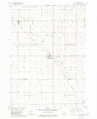
1980 · Mallard
USGS Topo · 1:24,000
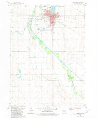
1980 · Emmetsburg
USGS Topo · 1:24,000

1980 · West Bend
USGS Topo · 1:24,000