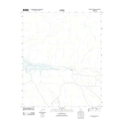
2011 Map of Palmerita Ranch
USGS Topo · Published 2011About this map
Palmerita Ranch sits at the heart of this desert landscape, where the seasonal flow of the Santa Maria River cuts through the arid terrain of Mohave County. This 2011 survey illustrates the sparse but critical water network of the region, anchored by the river and supplemented by Grapevine Springs to the southeast. The hydrology of the area is further defined by the winding course of Valencia Wash and Date Creek, both of which drain toward the river basin. Transportation in this part of Arizona is limited to desert routes such as Palmerita Rd and Date Creek Rd, which provide the primary access to the ranching homestead and surrounding backlands. The map provides a clear picture of the modern land use patterns in a region where life and geography remain tightly bound to these intermittent water sources.
Find a feature on this map
8 named features on this map. Tap any name to fly to it.
Don’t see what you’re looking for? This feature index may not catch every label — zoom into the map to look around manually.
Map Details
Editions of this 2011 Palmerita Ranch Map
This is the sole edition of this map. No revisions or reprints were ever made.
Other maps of this area

1923 · Signal
USGS Topo · 1:250,000

1942 · Signal
USGS Topo · 1:250,000

1950 · Prescott
USGS Topo · 1:250,000

1954 · Prescott
USGS Topo · 1:250,000

1958 · Prescott
USGS Topo · 1:250,000

1959 · Prescott
USGS Topo · 1:250,000

1960 · Prescott
USGS Topo · 1:250,000

1965 · Prescott
USGS Topo · 1:250,000

1966 · Ives Peak
USGS Topo · 1:62,500

1966 · Artillery Peak
USGS Topo · 1:62,500