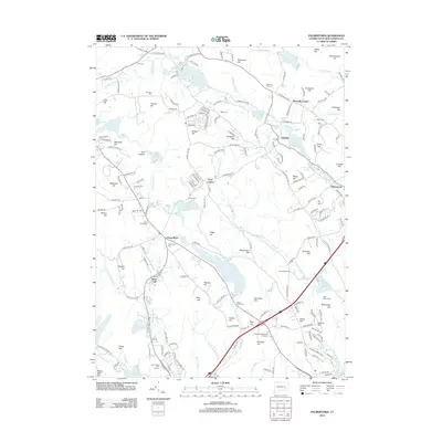
2012 Map of Palmertown
USGS Topo · Published 2012About this map
Chesterfield and Oakdale anchor this landscape in southeastern Connecticut, where the geography is defined by a dense network of glacial hills and small water bodies. The terrain is marked by numerous family-named summits such as Raymond Hill, Lynch Hill, and Mahoneys Hill, interspersed with historic burying grounds including the Chesterfield Cem and Saint Johns Cem. The region's hydrologic history is evident in the variety of impoundments and streams, from the large Stony Brook Reservoir and Oxoboxo Lake to smaller sites like Red Mill Pond and Scholfield Pond. This pattern of scattered settlements and small-scale water management suggests a transition from earlier industrial uses to a more residential and recreational character, with landmarks like the Cedar Ridge Golf Course and Camp Waterford occupying the gaps between established town centers like Palmertown and Montville Center.
Find a feature on this map
208 named features on this map. Tap any name to fly to it.
Don’t see what you’re looking for? This feature index may not catch every label — zoom into the map to look around manually.
Map Details
Editions of this 2012 Palmertown Map
This is the sole edition of this map. No revisions or reprints were ever made.
Other maps of this area

1892 · New London
USGS Topo · 1:62,500

1892 · Norwich
USGS Topo · 1:62,500

1892 · Gilead
USGS Topo · 1:62,500

1893 · New London
USGS Topo · 1:62,500

1893 · Saybrook
USGS Topo · 1:62,500

1921 · New London
USGS Topo · 1:62,500

1934 · Niantic
USGS Topo · 1:24,000

1935 · Montville
USGS Topo · 1:24,000

1938 · New London
USGS Topo · 1:31,680

1938 · Niantic
USGS Topo · 1:62,500