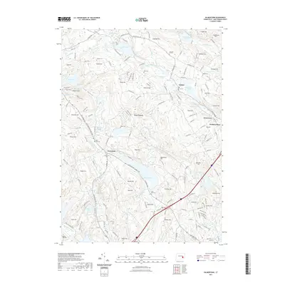
2021 Map of Palmertown
USGS Topo · Published 2021About this map
Raymond Hill and its namesake cemetery overlook a landscape defined by New London County’s intricate water network and small settlements. The area shows a transition from the agricultural roots found near Chesterfield and Chapel Hill to the industrial and residential corridors of Palmertown and Oakdale. Hydrological features dominate the terrain, with substantial bodies like Oxoboxo Lake and Lake Konomoc supporting local needs, while smaller ponds like Powers Ice Pond and Davis Pond suggest earlier local industries. For genealogists, the map is particularly rich in family-named landmarks and resting places, including Winaker Cem, Baker Cem, and Rogers Cem, alongside numerous hills such as Beckwith Hill and Lynch Hill that carry the names of early resident families. The placement of schools and cemeteries throughout this 2021 survey provides a clear view of how these interior Connecticut communities have maintained their historical footprints.
Find a feature on this map
177 named features on this map. Tap any name to fly to it.
Don’t see what you’re looking for? This feature index may not catch every label — zoom into the map to look around manually.
Map Details
Editions of this 2021 Palmertown Map
This is the sole edition of this map. No revisions or reprints were ever made.
Other maps of this area

1892 · New London
USGS Topo · 1:62,500

1892 · Norwich
USGS Topo · 1:62,500

1892 · Gilead
USGS Topo · 1:62,500

1893 · New London
USGS Topo · 1:62,500

1893 · Saybrook
USGS Topo · 1:62,500

1921 · New London
USGS Topo · 1:62,500

1934 · Niantic
USGS Topo · 1:24,000

1935 · Montville
USGS Topo · 1:24,000

1938 · New London
USGS Topo · 1:31,680

1938 · Niantic
USGS Topo · 1:62,500