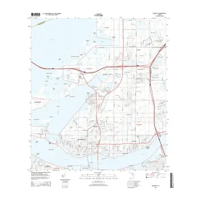
2015 Map of Palmetto
USGS Topo · Published 2015About this map
Palmetto and its neighboring Gulf Coast communities are defined here by a dense network of residential streets and coastal waterways where the Manatee River meets Tampa Bay. This 2015 U.S. Geological Survey representation traces the modern footprint of settlements like Ellenton, Memphis, and Rubonia, revealing a landscape deeply integrated with the surrounding environment. Large-scale cemetery sites such as Skyway Memorial Gardens and Mansion Memorial Park provide significant points of interest for genealogists and local historians tracking the region's development.
Find a feature on this map
152 named features on this map. Tap any name to fly to it.
Don’t see what you’re looking for? This feature index may not catch every label — zoom into the map to look around manually.
Map Details
Editions of this 2015 Palmetto Map
This is the sole edition of this map. No revisions or reprints were ever made.
Other maps of this area

1921 · Fort De Soto
USGS Topo · 1:62,500

1942 · Cockroach Bay
USGS Topo · 1:31,680

1943 · Pass-A-Grille
USGS Topo · 1:31,680

1944 · Anna Maria
USGS Topo · 1:31,680

1944 · Ruskin
USGS Topo · 1:31,680

1944 · Lorraine
USGS Topo · 1:31,680

1944 · Ellenton
USGS Topo · 1:31,680

1944 · Parish
USGS Topo · 1:31,680

1944 · Bradenton Beach
USGS Topo · 1:31,680

1945 · Cockroach Bay
USGS Topo · 1:31,680