2024 Map of Palmetto
USGS Topo · Published 2024About this map
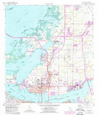
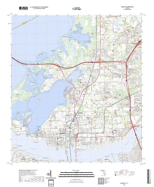
The Manatee River and its various inlets dominate the southern landscape of this 2024 survey, with Palmetto serving as a significant coastal hub. To the north, Memphis and Memphis Heights represent the area's continued residential density, while smaller communities like Gillette and Rubonia punctuate the northern agricultural and wetlands zones. The coastal geography is defined by a intricate network of bayous and points, including Terra Ceia Bay and the mangrove-lined shores of Bishop Harbor.
Find a feature on this map
162 named features on this map. Tap any name to fly to it.
Don’t see what you’re looking for? This feature index may not catch every label — zoom into the map to look around manually.
Map Details
Editions of this 2024 Palmetto Map
This is the sole edition of this map. No revisions or reprints were ever made.