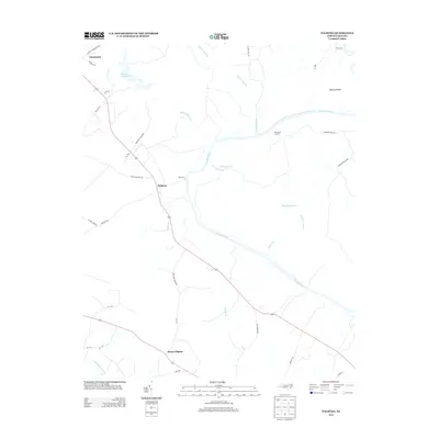
2013 Map of Palmyra
USGS Topo · Published 2013About this map
The Roanoke River snakes through the center of this landscape, defining the rural character of Halifax County in the early 21st century. The settlement of Palmyra serves as a central point for a network of country roads, including Kehukee Church Rd and Woodstock Farm Dr, which navigate the surrounding lowlands. The area's complex hydrology is evident in the numerous wetland features like Kehukee Swamp, Cypress Swamp, and Etheridge Swamp, as well as the intricate drainage of Thompson Gut and Kiahs Gut.
Find a feature on this map
32 named features on this map. Tap any name to fly to it.
Don’t see what you’re looking for? This feature index may not catch every label — zoom into the map to look around manually.
Map Details
Editions of this 2013 Palmyra Map
This is the sole edition of this map. No revisions or reprints were ever made.
Other maps of this area

1901 · Parmele
USGS Topo · 1:62,500

1901 · Williamston
USGS Topo · 1:62,500

1902 · Williamston
USGS Topo · 1:62,500

1902 · Parmele
USGS Topo · 1:62,500

1953 · Norfolk
USGS Topo · 1:250,000

1953 · Rocky Mount
USGS Topo · 1:250,000

1954 · Rocky Mount
USGS Topo · 1:250,000

1962 · Palmyra
USGS Topo · 1:24,000

1962 · Scotland Neck
USGS Topo · 1:24,000

1962 · Norfleet
USGS Topo · 1:24,000