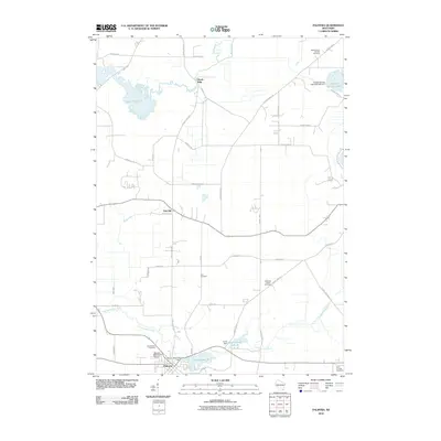
2010 Map of Palmyra
USGS Topo · Published 2010About this map
The village of Palmyra serves as the southern anchor of this 2010 landscape, situated near the headwaters of the Scuppernong River. The topography is defined by its drainage systems and numerous wetland areas, including the significant Rome Pond 114 and the Bark River which winds past the settlement of Heath Mills. In this part of Waukesha County, the rural character is punctuated by historic burial grounds that offer valuable touchpoints for family historians, such as the Melindas Prairie Cemetery and Zion Cemetery.
Find a feature on this map
48 named features on this map. Tap any name to fly to it.
Don’t see what you’re looking for? This feature index may not catch every label — zoom into the map to look around manually.
Map Details
Editions of this 2010 Palmyra Map
This is the sole edition of this map. No revisions or reprints were ever made.
Other maps of this area

1892 · Watertown
USGS Topo · 1:62,500

1892 · Oconomowoc
USGS Topo · 1:62,500

1892 · Whitewater
USGS Topo · 1:62,500

1892 · Eagle
USGS Topo · 1:62,500

1893 · Whitewater
USGS Topo · 1:62,500

1894 · Watertown
USGS Topo · 1:62,500

1894 · Eagle
USGS Topo · 1:62,500

1897 · Eagle
USGS Topo · 1:62,500

1903 · Whitewater
USGS Topo · 1:62,500

1906 · Eagle
USGS Topo · 1:62,500