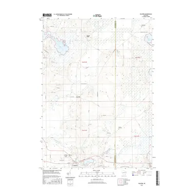
2016 Map of Palmyra
USGS Topo · Published 2016About this map
Palmyra serves as the primary hub in this Jefferson and Waukesha county borderland, situated where the Scuppernong River winds through a landscape defined by glacial hydrology. The village core is flanked by Spring Lake and Upper Spring Lake, while the Palmyra Municipal Airport marks the western outskirts. This area preserves a significant record of early settlement patterns, visible through numerous dispersed burying grounds including Zion Cem, Melindas Prairie Cem, and Saint Brunos Catholic Cem.
Find a feature on this map
63 named features on this map. Tap any name to fly to it.
Don’t see what you’re looking for? This feature index may not catch every label — zoom into the map to look around manually.
Map Details
Editions of this 2016 Palmyra Map
This is the sole edition of this map. No revisions or reprints were ever made.
Other maps of this area

1892 · Watertown
USGS Topo · 1:62,500

1892 · Oconomowoc
USGS Topo · 1:62,500

1892 · Whitewater
USGS Topo · 1:62,500

1892 · Eagle
USGS Topo · 1:62,500

1893 · Whitewater
USGS Topo · 1:62,500

1894 · Watertown
USGS Topo · 1:62,500

1894 · Eagle
USGS Topo · 1:62,500

1897 · Eagle
USGS Topo · 1:62,500

1903 · Whitewater
USGS Topo · 1:62,500

1906 · Eagle
USGS Topo · 1:62,500