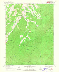
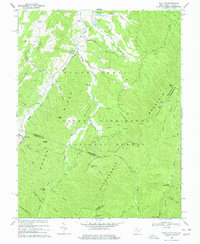
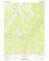
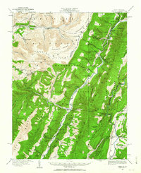
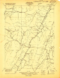
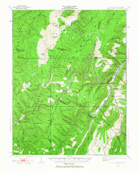
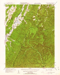
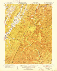
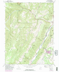
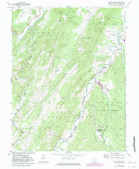
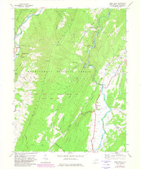
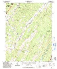
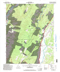
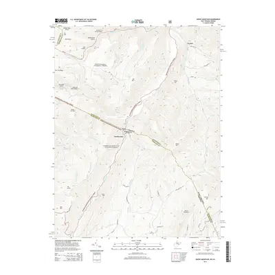
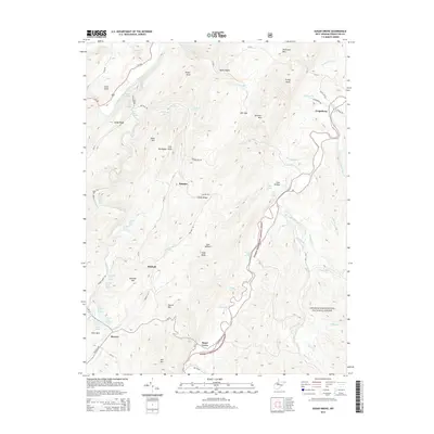
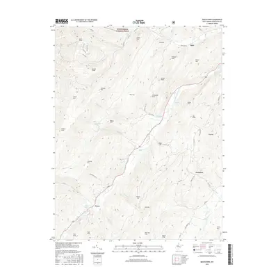
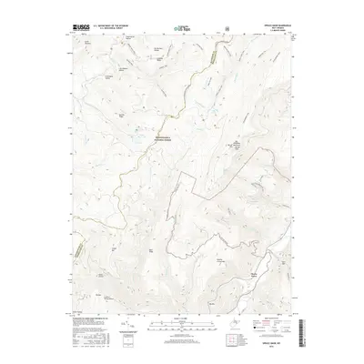
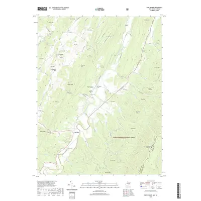
1969 Map of Palo Alto
USGS Topo · Published 1971About this map
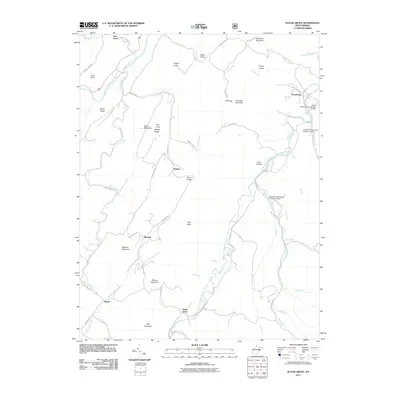
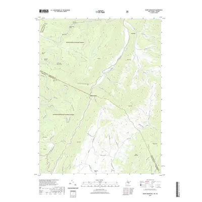
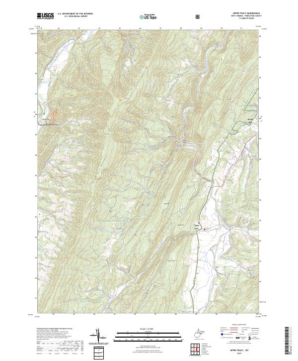
Sugar Grove Ridge and Shenandoah Mountain dominate this late-1960s survey of the borderlands between West Virginia and Virginia. The small settlement of Palo Alto sits in the western valleys, where Crummett Run Road winds through the hills. This landscape is defined by its dramatic ridges and the complex drainage of the Potomac River, with numerous named hollows such as Wildcat Hollow and Huffman Hollow providing insight into early land use and settlement patterns.
Find a feature on this map
58 named features on this map. Tap any name to fly to it.
Don’t see what you’re looking for? This feature index may not catch every label — zoom into the map to look around manually.
Map Details
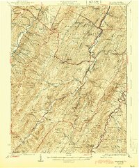
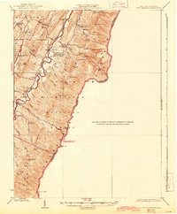
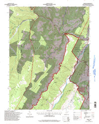
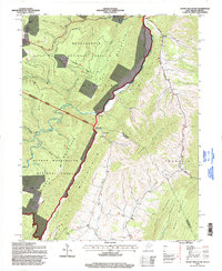
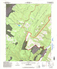
Editions of this 1969 Palo Alto Map
3 editions found
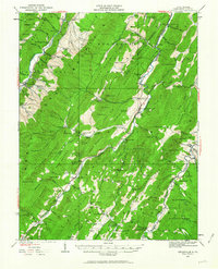
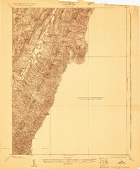
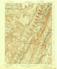
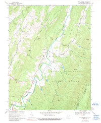
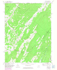
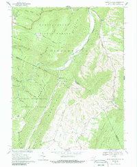
Historical Maps of Palo Alto Through Time
71 maps found
1920 Onego
Pendleton County, WV
1921 Onego
Pendleton County, WV
1922 Circleville
Pendleton County, WV
1922 Fort Seybert
Pendleton County, WV
1922 Onego
Pendleton County, WV
1922 Spruce Knob
Pendleton County, WV
1924 Circleville
Pendleton County, WV
1924 Fort Seybert
Pendleton County, WV
1924 Spruce Knob
Pendleton County, WV
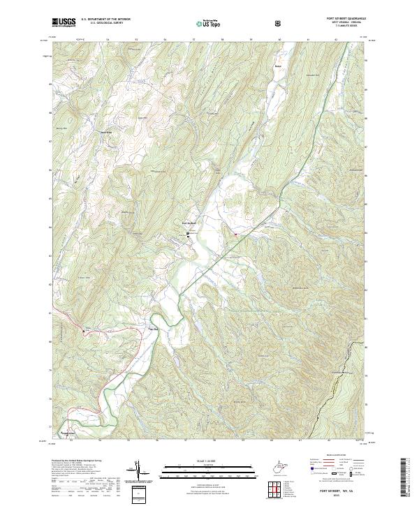
1947 Fort Seybert
Pendleton County, WV
1951 Fort Seybert
Pendleton County, WV
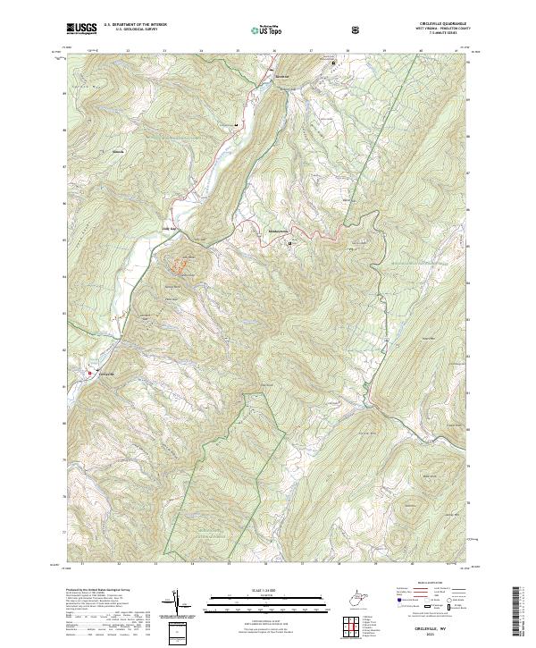
1968 Circleville
Pendleton County, WV
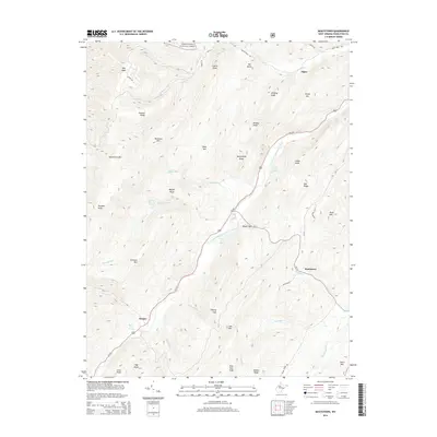
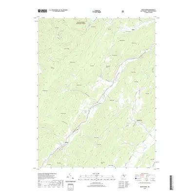
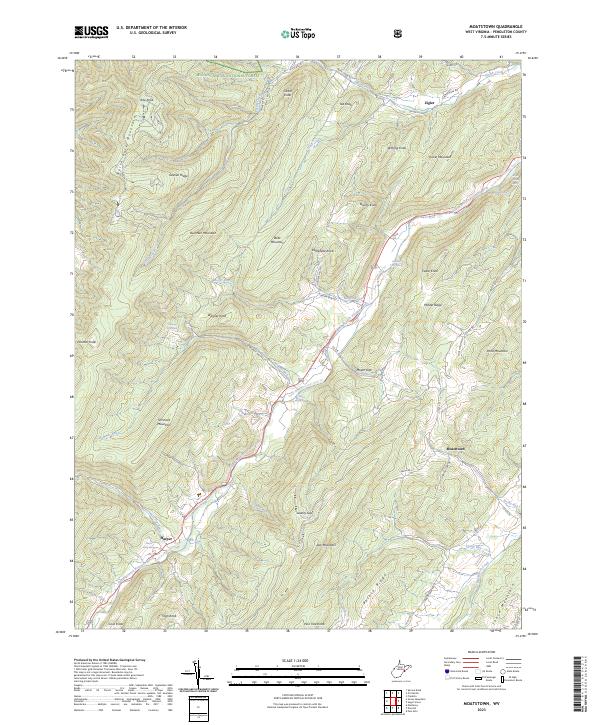
1968 Moatstown
Pendleton County, WV
1968 Onego
Pendleton County, WV
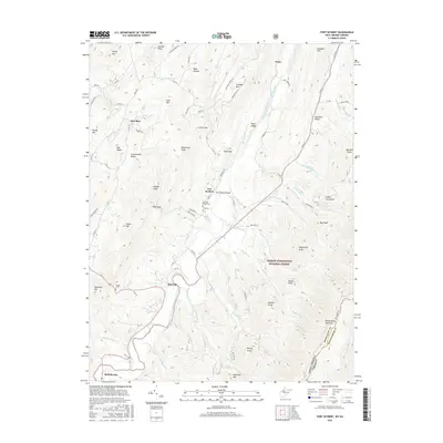
1969 Fort Seybert
Pendleton County, WV
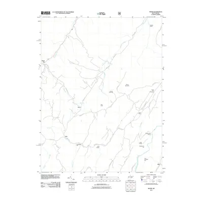
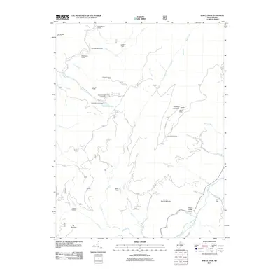
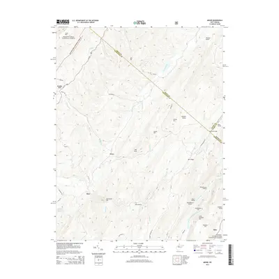
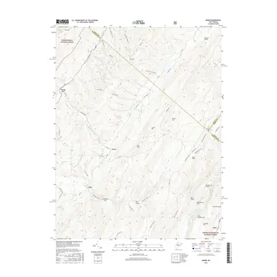
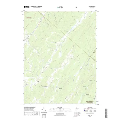
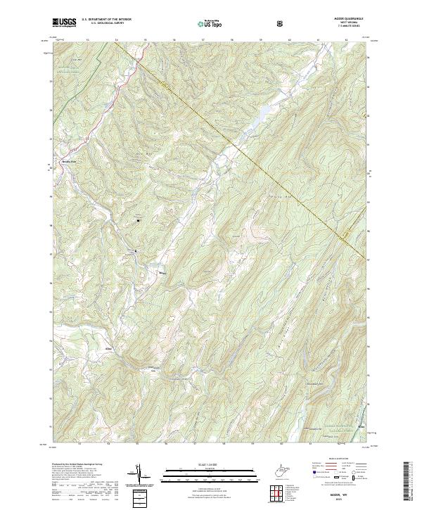
1969 Mozer
Pendleton County, WV
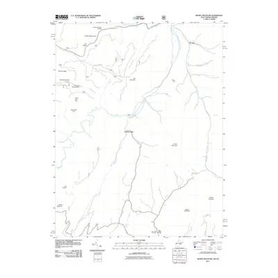
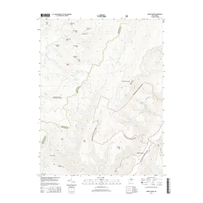
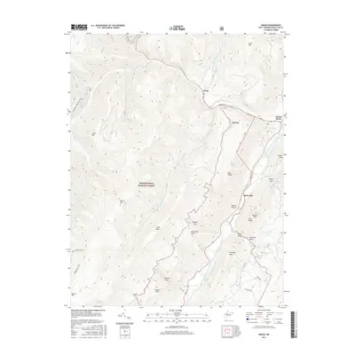
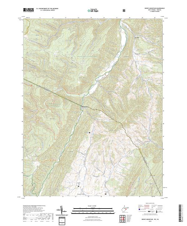
1969 Snowy Mountain
Pendleton County, WV
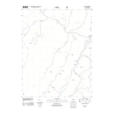
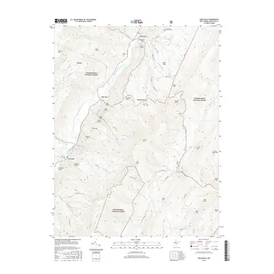
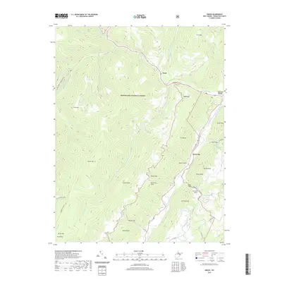
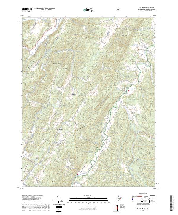
1969 Sugar Grove
Pendleton County, WV
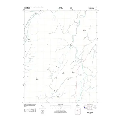
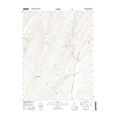
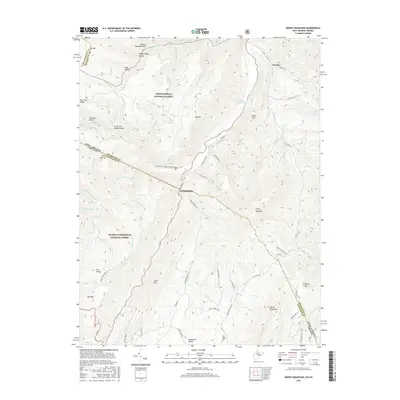
1969 Upper Tract
Pendleton County, WV
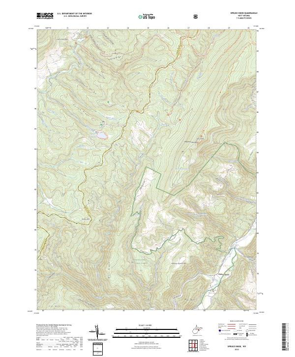
1970 Spruce Knob
Pendleton County, WV
1995 Circleville
Pendleton County, WV
1995 Mozer
Pendleton County, WV
1995 Onego
Pendleton County, WV
1995 Snowy Mountain
Pendleton County, WV
1995 Spruce Knob
Pendleton County, WV
1995 Upper Tract
Pendleton County, WV
2011 Circleville
Pendleton County, WV
2011 Fort Seybert
Pendleton County, WV
2011 Moatstown
Pendleton County, WV
2011 Mozer
Pendleton County, WV
2011 Onego
Pendleton County, WV
2011 Snowy Mountain
Pendleton County, WV
2011 Spruce Knob
Pendleton County, WV
2011 Sugar Grove
Pendleton County, WV
2011 Upper Tract
Pendleton County, WV
2014 Circleville
Pendleton County, WV
2014 Fort Seybert
Pendleton County, WV
2014 Moatstown
Pendleton County, WV
2014 Mozer
Pendleton County, WV

2014 Onego
Pendleton County, WV
2014 Snowy Mountain
Pendleton County, WV
2014 Spruce Knob
Pendleton County, WV
2014 Sugar Grove
Pendleton County, WV
2014 Upper Tract
Pendleton County, WV
2016 Circleville
Pendleton County, WV
2016 Fort Seybert
Pendleton County, WV
2016 Moatstown
Pendleton County, WV
2016 Mozer
Pendleton County, WV
2016 Onego
Pendleton County, WV
2016 Snowy Mountain
Pendleton County, WV
2016 Spruce Knob
Pendleton County, WV
2016 Sugar Grove
Pendleton County, WV
2016 Upper Tract
Pendleton County, WV
2019 Circleville
Pendleton County, WV
2019 Fort Seybert
Pendleton County, WV
2019 Moatstown
Pendleton County, WV
2019 Mozer
Pendleton County, WV
2019 Onego
Pendleton County, WV
2019 Snowy Mountain
Pendleton County, WV
2019 Spruce Knob
Pendleton County, WV
2019 Sugar Grove
Pendleton County, WV
2019 Upper Tract
Pendleton County, WV
2023 Circleville
Pendleton County, WV
2023 Fort Seybert
Pendleton County, WV
2023 Moatstown
Pendleton County, WV
2023 Mozer
Pendleton County, WV
2023 Onego
Pendleton County, WV
2023 Snowy Mountain
Pendleton County, WV
2023 Spruce Knob
Pendleton County, WV
2023 Sugar Grove
Pendleton County, WV
2023 Upper Tract
Pendleton County, WV