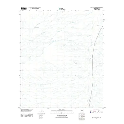
2011 Map of Palo Alto Ranch
USGS Topo · Published 2011About this map
Anvil Ranch and Palo Alto Ranch anchor this arid Pima County landscape, representing the enduring cattle ranching tradition of Southern Arizona. The terrain is defined by an intricate network of desert drainages, most notably the broad Altar Wash that runs north-to-south along the eastern edge of the quadrangle. A series of smaller waterways, including Mendoza Wash and Alambre Wash, flow out from the western highlands near Mendoza Canyon, illustrating the complex alluvial patterns of the Altar Valley.
Find a feature on this map
26 named features on this map. Tap any name to fly to it.
Don’t see what you’re looking for? This feature index may not catch every label — zoom into the map to look around manually.
Map Details
Editions of this 2011 Palo Alto Ranch Map
This is the sole edition of this map. No revisions or reprints were ever made.
Other maps of this area

1920 · Arivaca
USGS Topo · 1:125,000

1934 · Tucson Mountains
USGS Topo · 1:125,000

1934 · Silver Bell
USGS Topo · 1:125,000

1938 · San Vicente
USGS Topo · 1:62,500

1940 · Palo Alto Ranch
USGS Topo · 1:62,500

1941 · San Vicente
USGS Topo · 1:62,500

1941 · Cocoraque Butte
USGS Topo · 1:62,500

1941 · Baboquivari Peak
USGS Topo · 1:62,500

1942 · San Vicente
USGS Topo · 1:62,500

1943 · Cocoraque Butte
USGS Topo · 1:62,500