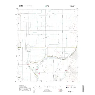
2018 Map of Palo Verde
USGS Topo · Published 2018About this map
Palo Verde and the surrounding agricultural landscape define this section of the lower Colorado River valley at the border of California and Arizona. The map illustrates a complex network of irrigation and drainage infrastructure essential to the region's desert farming, including the C-03 Canal, Rannels Drain, and Norton Drain. These water systems crisscross the Palo Verde Valley, creating a managed grid of fertile land set against the natural features of the Palo Verde Mesa and the Palo Verde Mountains.
Find a feature on this map
80 named features on this map. Tap any name to fly to it.
Don’t see what you’re looking for? This feature index may not catch every label — zoom into the map to look around manually.
Map Details
Editions of this 2018 Palo Verde Map
This is the sole edition of this map. No revisions or reprints were ever made.
Other maps of this area

1942 · Blythe
USGS Topo · 1:250,000

1945 · Cibola
USGS Topo · 1:62,500

1951 · Blythe
USGS Topo · 1:24,000

1951 · Cibola
USGS Topo · 1:62,500

1952 · Mule Wash
USGS Topo · 1:24,000

1952 · Mc Coy Spring
USGS Topo · 1:62,500

1952 · Palo Verde
USGS Topo · 1:24,000

1952 · Ripley
USGS Topo · 1:24,000

1953 · Palo Verde Mountains
USGS Topo · 1:62,500

1954 · Salton Sea
USGS Topo · 1:250,000