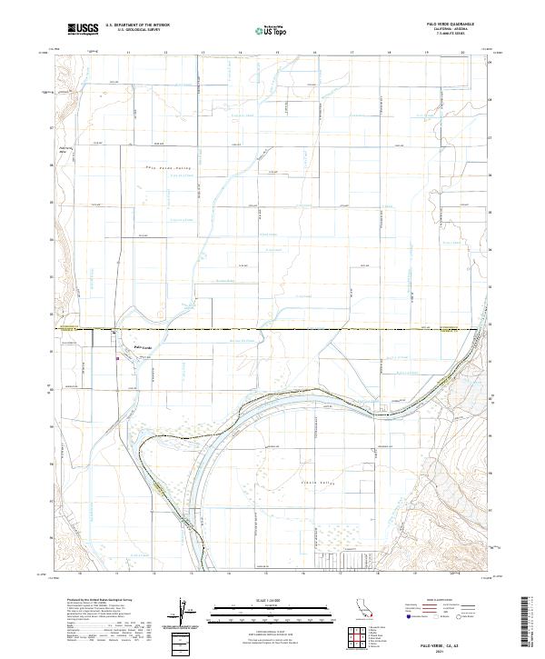
2021 Map of Palo Verde
USGS Topo · Published 2021About this map
The Colorado River defines the landscape of this border region, winding through the fertile Palo Verde Valley and Cibola Valley. This modern survey reveals an intricate network of irrigation and drainage infrastructure essential for desert agriculture, including the Hodges Drain, Rannells Drain, and numerous canals such as the C-23 Canal and C Canal. The settlement of Palo Verde sits near the Palo Verde Lagoon, protected from the river's path by the Palo Verde Levee.
Find a feature on this map
70 named features on this map. Tap any name to fly to it.
Don’t see what you’re looking for? This feature index may not catch every label — zoom into the map to look around manually.
Map Details
Editions of this 2021 Palo Verde Map
This is the sole edition of this map. No revisions or reprints were ever made.
Other maps of this area

1942 · Blythe
USGS Topo · 1:250,000

1945 · Cibola
USGS Topo · 1:62,500

1951 · Blythe
USGS Topo · 1:24,000

1951 · Cibola
USGS Topo · 1:62,500

1952 · Mule Wash
USGS Topo · 1:24,000

1952 · Mc Coy Spring
USGS Topo · 1:62,500

1952 · Palo Verde
USGS Topo · 1:24,000

1952 · Ripley
USGS Topo · 1:24,000

1953 · Palo Verde Mountains
USGS Topo · 1:62,500

1954 · Salton Sea
USGS Topo · 1:250,000