Loading...
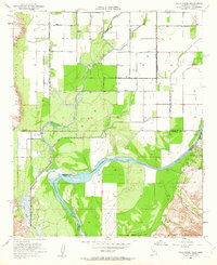
Loading map...1965 Map of Palo Verde
USGS Topo · Published 1977About this map
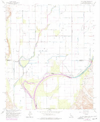
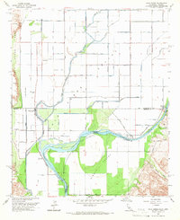
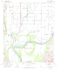
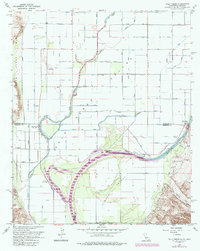
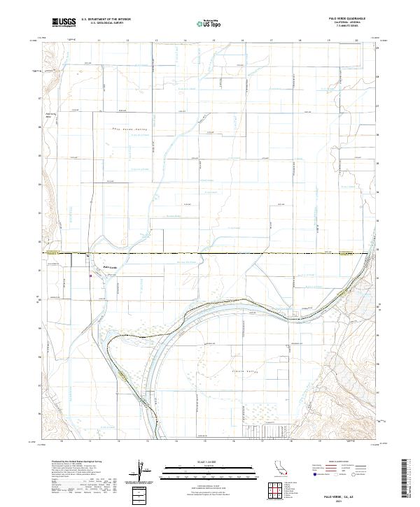
The Palo Verde Valley is defined by an intricate network of irrigation and drainage infrastructure, including the C-28 Canal, Rannells Drain, and numerous other numbered waterways that transformed this desert landscape into productive land. Settled near the border of Riverside and Imperial counties, the community of Palo Verde serves as a local hub near the Palo Verde Lagoon. The era's focus on water management is evident in the presence of the Flume and various Storage Bins scattered across the valley floor.
Find a feature on this map
68 named features on this map. Tap any name to fly to it.
Don’t see what you’re looking for? This feature index may not catch every label — zoom into the map to look around manually.
Map Details
Date Portrayed1965
Date Published1977
PublisherU.S. Geological Survey
Map TypeTopographic
Scale1:24,000
Physical Dimensions21.9 x 26.7 inches
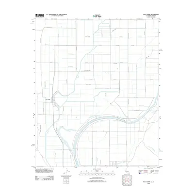
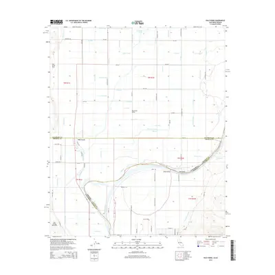
Editions of this 1965 Palo Verde Map
4 editions found
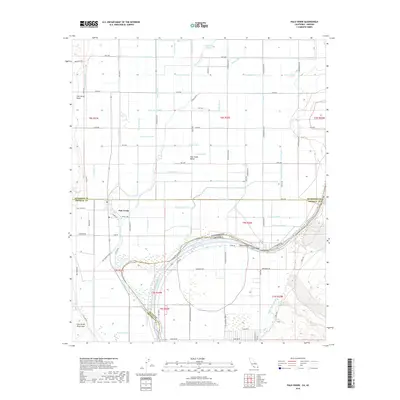
Historical Maps of Cibola Through Time
6 maps found
Featured Locations
Source Details
SourceU.S. Geological Survey
CopyrightPublic Domain