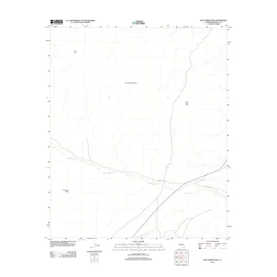
2012 Map of Palo Verde Peak
USGS Topo · Published 2012About this map
Palo Verde Peak anchors this arid landscape in the southeastern corner of California, marking a prominent point within the Palo Verde Mountains. The terrain is defined by dry drainage systems and dramatic topographic shifts, most notably the wide expanse of Milpitas Wash as it cuts through the desert floor. To the west, the relatively level grounds of Smoketree Valley contrast with the elevated plateau of the Flat Tops. Human activity in this remote desert environment is primarily indicated by early 21st-century access routes like Milpitas Wash Rd and Walters Camp Rd, which provide passage through the jagged ridges and alluvial fans characteristic of Imperial County's high desert reaches.
Find a feature on this map
7 named features on this map. Tap any name to fly to it.
Don’t see what you’re looking for? This feature index may not catch every label — zoom into the map to look around manually.
Map Details
Editions of this 2012 Palo Verde Peak Map
This is the sole edition of this map. No revisions or reprints were ever made.
Other maps of this area

1942 · Blythe
USGS Topo · 1:250,000

1945 · Cibola
USGS Topo · 1:62,500

1945 · Picacho
USGS Topo · 1:62,500

1951 · Picacho
USGS Topo · 1:62,500

1951 · Cibola
USGS Topo · 1:62,500

1952 · Palo Verde
USGS Topo · 1:24,000

1953 · Palo Verde Mountains
USGS Topo · 1:62,500

1953 · Quartz Peak
USGS Topo · 1:62,500

1954 · Salton Sea
USGS Topo · 1:250,000
1954 · Picacho NW
USGS Topo · 1:24,000