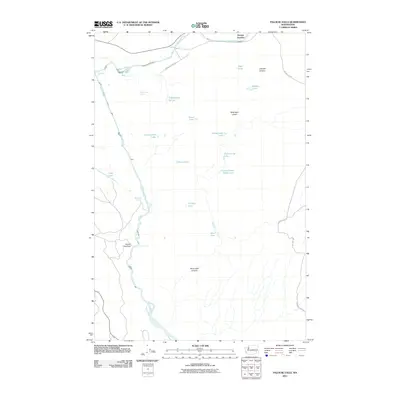
2011 Map of Palouse Falls
USGS Topo · Published 2011About this map
Palouse Falls serves as the dramatic focal point of this 2011 survey, where the Palouse River carves through the basalt landscape of southeastern Washington. The area's complex drainage pattern is defined by a series of small, scattered lakes including Rustin Hole Lake, Findley Lake, and Wildcat Lake, many of which appear to be seasonal or pothole-style formations characteristic of the Scablands.
Find a feature on this map
26 named features on this map. Tap any name to fly to it.
Don’t see what you’re looking for? This feature index may not catch every label — zoom into the map to look around manually.
Map Details
Editions of this 2011 Palouse Falls Map
This is the sole edition of this map. No revisions or reprints were ever made.
Other maps of this area

1923 · Washtucna
USGS Topo · 1:62,500

1925 · Washtucna
USGS Topo · 1:62,500

1948 · Starbuck
USGS Topo · 1:62,500

1948 · Ayer
USGS Topo · 1:62,500

1950 · Starbuck
USGS Topo · 1:62,500

1950 · Haas
USGS Topo · 1:62,500

1950 · Benge
USGS Topo · 1:62,500

1952 · Benge
USGS Topo · 1:62,500

1953 · Walla Walla
USGS Topo · 1:250,000

1958 · Walla Walla
USGS Topo · 1:250,000