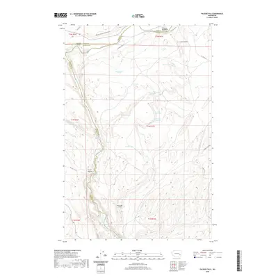
2020 Map of Palouse Falls
USGS Topo · Published 2020About this map
Palouse Falls and the surrounding canyon country dominate this modern topographic study at the intersection of Whitman, Adams, and Franklin Counties. The Palouse River carves through the basalt landscape, passing Little Palouse Falls and the Fryxell Overlook before continuing south. The map documents a landscape defined by water and transport, where the Columbia Plateau State Park Trail follows a former rail corridor through the high desert. Historical tracks like Mullan Rd and Old State Hwy 26 traverse the northern reach near Hooper Junction, while the interior is dotted with remote springs and ephemeral lakes, including Gildersleeve Spring, Railroad Spring, and Wildcat Lake. This intricate record of the Channeled Scablands topography highlights the relationship between the river's path and the development of local access roads like Palouse Falls Rd.
Find a feature on this map
41 named features on this map. Tap any name to fly to it.
Don’t see what you’re looking for? This feature index may not catch every label — zoom into the map to look around manually.
Map Details
Editions of this 2020 Palouse Falls Map
This is the sole edition of this map. No revisions or reprints were ever made.
Other maps of this area

1923 · Washtucna
USGS Topo · 1:62,500

1925 · Washtucna
USGS Topo · 1:62,500

1948 · Starbuck
USGS Topo · 1:62,500

1948 · Ayer
USGS Topo · 1:62,500

1950 · Starbuck
USGS Topo · 1:62,500

1950 · Haas
USGS Topo · 1:62,500

1950 · Benge
USGS Topo · 1:62,500

1952 · Benge
USGS Topo · 1:62,500

1953 · Walla Walla
USGS Topo · 1:250,000

1958 · Walla Walla
USGS Topo · 1:250,000