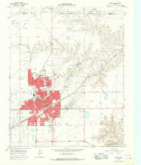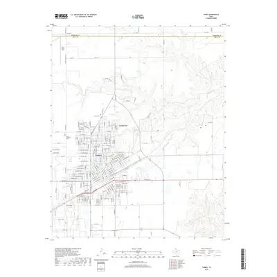
1982 Map of Pampa
USGS Topo · Published 1983About this map
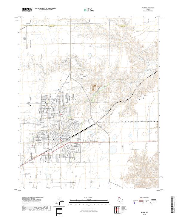
The Canadian River cuts through the Texas Panhandle, anchoring a landscape where the rugged breaks of the river valley meet the industrial and agricultural plains. At the southwestern corner, Pampa stands as a primary hub of activity, supported by the Quinpono Gas and Oil Field and the heavy transport of the Atchison Topeka and Santa Fe railroad. The map traces the transition from the high plains to the deeper relief of the river bottoms, including the Gene Howe Wildlife Management Area. Eastern settlements such as Mobeetie and New Mobeetie offer a glimpse into the local history of Hemphill and Wheeler counties, while smaller railway-adjacent locations like Heaton and Hoover follow the path of the tracks toward the Oklahoma border. Numerous water sources, including the Washita River and Sweetwater Creek, indicate the vital role of drainage and irrigation in this semi-arid environment.
Find a feature on this map
49 named features on this map. Tap any name to fly to it.
Don’t see what you’re looking for? This feature index may not catch every label — zoom into the map to look around manually.
Map Details
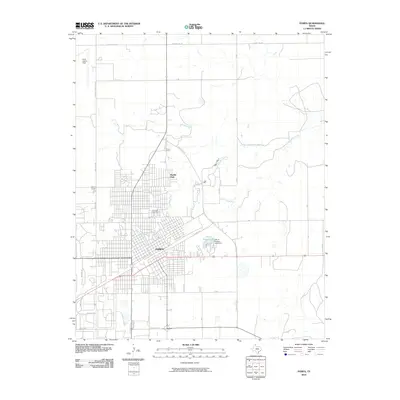
Editions of this 1982 Pampa Map
This is the sole edition of this map. No revisions or reprints were ever made.
Historical Maps of Pampa Through Time
7 maps found