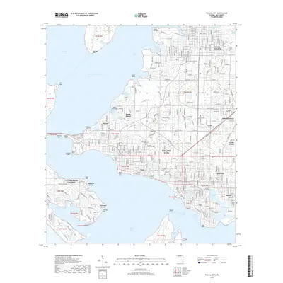
2018 Map of Panama City
USGS Topo · Published 2018About this map
Panama City is situated at the heart of this coastal survey, where the urban grid meets the intricate shorelines of Saint Andrew Bay and the Gulf of Mexico. The map documents a highly developed waterfront landscape, from the educational campuses of Florida State Univ Panama City and Gulf Coast State College near the Hathaway Bridge to the industrial and residential pockets of Millville and Springfield. The intricate network of bayous, such as Pretty Bayou, Goose Bayou, and Watson Bayou, illustrates the water-dependent nature of the region's development.
Find a feature on this map
70 named features on this map. Tap any name to fly to it.
Don’t see what you’re looking for? This feature index may not catch every label — zoom into the map to look around manually.
Map Details
Editions of this 2018 Panama City Map
This is the sole edition of this map. No revisions or reprints were ever made.
Other maps of this area

1943 · Beacon Beach
USGS Topo · 1:31,680

1943 · Panama City
USGS Topo · 1:31,680

1943 · Panama City Beach
USGS Topo · 1:31,680

1943 · West Bay
USGS Topo · 1:24,000

1943 · Southport
USGS Topo · 1:24,000

1944 · Southport
USGS Topo · 1:24,000

1944 · West Bay
USGS Topo · 1:31,680

1944 · Long Point
USGS Topo · 1:31,680

1944 · Bayhead
USGS Topo · 1:24,000

1945 · Bayhead
USGS Topo · 1:31,680