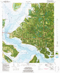
1982 Map of Panama City
USGS Topo · Published 1984About this map
Panama City and its surrounding coastal settlements are intricately mapped here in the early 1980s, revealing a landscape defined by the deep indentations of St Andrew Bay and North Bay. The city’s transition from a rail-dependent port to a regional hub is evident in the path of the Atlanta and St Andrews Bay RR terminating near Port Panama City, while the Panama City Bay County Airport Fannin Field occupies a prominent peninsula to the north.
Find a feature on this map
81 named features on this map. Tap any name to fly to it.
Don’t see what you’re looking for? This feature index may not catch every label — zoom into the map to look around manually.
Map Details
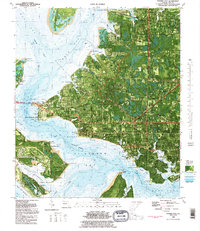
Editions of this 1982 Panama City Map
2 editions found
Other maps of this area

1943 · Beacon Beach
USGS Topo · 1:31,680

1943 · Panama City
USGS Topo · 1:31,680

1943 · Panama City Beach
USGS Topo · 1:31,680

1943 · West Bay
USGS Topo · 1:24,000

1943 · Southport
USGS Topo · 1:24,000

1944 · Southport
USGS Topo · 1:24,000

1944 · West Bay
USGS Topo · 1:31,680

1944 · Long Point
USGS Topo · 1:31,680

1944 · Bayhead
USGS Topo · 1:24,000

1945 · Bayhead
USGS Topo · 1:31,680