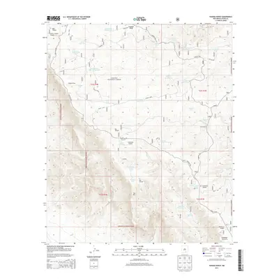
2013 Map of Panama Ranch
USGS Topo · Published 2013About this map
Panama Ranch sits within the high arid landscape of the Lincoln National Forest, where water management defines the human footprint. This 2013 survey reveals a complex network of catchment systems essential for ranching and survival in the Guadalupe Mountains. Named features like the Corner-Water Storage Tank, Sargent Water Storage Tank, and Pot Hole Tank are scattered across the terrain, illustrating the critical importance of every localized drainage and spring.
Find a feature on this map
45 named features on this map. Tap any name to fly to it.
Don’t see what you’re looking for? This feature index may not catch every label — zoom into the map to look around manually.
Map Details
Editions of this 2013 Panama Ranch Map
This is the sole edition of this map. No revisions or reprints were ever made.
Other maps of this area

1943 · Texas Hill
USGS Topo · 1:62,500

1945 · Texas Hill
USGS Topo · 1:62,500

1954 · Carlsbad
USGS Topo · 1:250,000

1958 · Carlsbad
USGS Topo · 1:250,000

1963 · Hackberry Hill
USGS Topo · 1:24,000

1963 · Tanner Ranch
USGS Topo · 1:24,000

1963 · Gowdy Ranch
USGS Topo · 1:24,000

1963 · Panama Ranch
USGS Topo · 1:24,000

1965 · Bullis Spring Ranch
USGS Topo · 1:24,000

1965 · Pinon Ranch
USGS Topo · 1:24,000