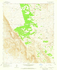
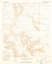
1963 Map of Panama Ranch
USGS Topo · Published 1966About this map
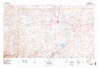
Panama Ranch and the small settlement of Panama stand as central points of activity in this arid corner of Otero County. Mapped in the early 1960s, the landscape is defined by the dramatic escarpment of The Rim, which drops sharply away from the elevated plateau of the Lincoln National Forest. The scarcity of water is the primary driver of development here, evidenced by a dense network of man-made features like Jones Farm Tank, Pot Hole Tank, and Rock Bottom Tank. These water sources, often located near drainages like Segrest Draw and Crooked Canyon, supported the ranching operations that characterize the region's economy. The presence of a simple Jeep Trail and various fence lines underscores the remote, utilitarian nature of the land use during this era.
Find a feature on this map
41 named features on this map. Tap any name to fly to it.
Don’t see what you’re looking for? This feature index may not catch every label — zoom into the map to look around manually.
Map Details
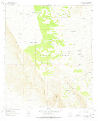
Editions of this 1963 Panama Ranch Map
2 editions found
Other maps of this area
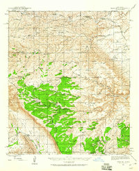
1943 · Texas Hill
USGS Topo · 1:62,500
1945 · Texas Hill
USGS Topo · 1:62,500

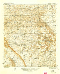
1954 · Carlsbad
USGS Topo · 1:250,000

1958 · Carlsbad
USGS Topo · 1:250,000
1963 · Hackberry Hill
USGS Topo · 1:24,000
1963 · Tanner Ranch
USGS Topo · 1:24,000
1963 · Gowdy Ranch
USGS Topo · 1:24,000
1965 · Bullis Spring Ranch
USGS Topo · 1:24,000

1965 · Pinon Ranch
USGS Topo · 1:24,000
1978 · Artesia
USGS Topo · 1:100,000