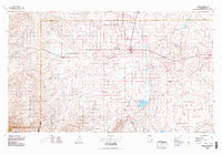
1978 Map of Artesia
USGS Topo · Published 1979About this map
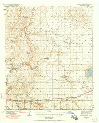
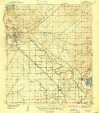
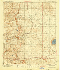
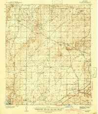
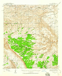
Artesia serves as the central hub of this late-1970s landscape, where the agricultural valley of the Pecos River meets the expansive energy fields of southeast New Mexico. The map reveals a high density of petroleum infrastructure, including the Greyburg Oil Field, Artesia Oil Field, and Empire Oil Field, illustrating the region's reliance on mineral extraction. Running parallel to the river, the Atchison Topeka and Santa Fe railroad connects smaller settlements like Lake Arthur, Espuela, and Dayton. To the south, the waters of Lake McMillan and Avalon Lake dominate the drainage system, while numerous ephemeral channels such as Fourmile Draw and Cottonwood Draw carve through the western plains. This survey captures a moment when traditional ranching and rail-based commerce coexisted with a maturing oil and gas industry, evident in landmarks like the Municipal Airport and the sprawling grid of section lines that define local land use.
Find a feature on this map
86 named features on this map. Tap any name to fly to it.
Don’t see what you’re looking for? This feature index may not catch every label — zoom into the map to look around manually.
Map Details
Editions of this 1978 Artesia Map
This is the sole edition of this map. No revisions or reprints were ever made.
Other maps of this area
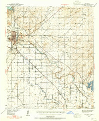
1939 · Carlsbad
USGS Topo · 1:62,500
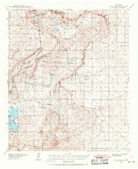
1939 · Nash Draw
USGS Topo · 1:62,500
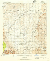
1940 · Bandanna Point
USGS Topo · 1:62,500
1942 · Clayton Basin
USGS Topo · 1:62,500
1943 · Carlsbad
USGS Topo · 1:62,500
1943 · Clayton Basin
USGS Topo · 1:62,500
1943 · Oil City
USGS Topo · 1:62,500

1943 · Bandanna Point
USGS Topo · 1:62,500

1943 · Nash Draw
USGS Topo · 1:62,500
1943 · Texas Hill
USGS Topo · 1:62,500