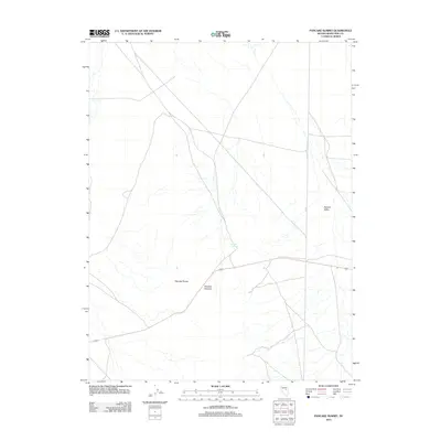
2012 Map of Pancake Summit
USGS Topo · Published 2012About this map
Pancake Summit serves as a central landmark in this high-desert region of White Pine County, where the high-altitude pass crosses the Pancake Range. This 2012 survey illustrates the remote infrastructure of eastern Nevada, defined by the long transit of Route 50 and the intersection with Co Rd 1. The landscape is characterized by the wide expanse of the Newark Valley to the east, a stark contrast to the uplifted terrain of the range. A single named water source, Sulphur Spring, appears in the central basin, suggesting the critical importance of isolated springs for ranching and travel in this arid Great Basin environment.
Find a feature on this map
6 named features on this map. Tap any name to fly to it.
Don’t see what you’re looking for? This feature index may not catch every label — zoom into the map to look around manually.
Map Details
Editions of this 2012 Pancake Summit Map
This is the sole edition of this map. No revisions or reprints were ever made.
Other maps of this area

1951 · Pancake Summit
USGS Topo · 1:62,500

1953 · Pinto Summit
USGS Topo · 1:62,500

1953 · Eureka
USGS Topo · 1:62,500

1956 · Ely
USGS Topo · 1:250,000

1957 · Buck Mountain
USGS Topo · 1:62,500

1959 · Ely
USGS Topo · 1:250,000

1963 · Ely
USGS Topo · 1:250,000

1979 · Mt. Hamilton
USGS Topo · 1:100,000

1985 · Newark Lake
USGS Topo · 1:100,000

1990 · Pancake Summit SW
USGS Topo · 1:24,000