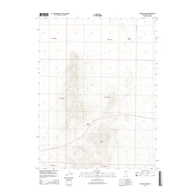
2014 Map of Pancake Summit
USGS Topo · Published 2014About this map
Pancake Summit serves as a critical high point within the central Nevada desert, marking a passage through the high-elevation terrain of the Pancake Range. This 2014 survey by the U.S. Geological Survey documents a landscape defined by isolation and elevation, where the drainage from Sulphur Spring and the wide expanse of the Newark Valley meet. The map traces the essential transportation corridors that cut through the sagebrush and basin-and-range topography, specifically the path of Ruby Valley Rd and Cr-1. These routes follow the natural contours of the land, providing a record of modern access across a region where natural water sources like Sulphur Spring have historically dictated movement and settlement patterns in the high desert of White Pine County.
Find a feature on this map
12 named features on this map. Tap any name to fly to it.
Don’t see what you’re looking for? This feature index may not catch every label — zoom into the map to look around manually.
Map Details
Editions of this 2014 Pancake Summit Map
This is the sole edition of this map. No revisions or reprints were ever made.
Other maps of this area

1951 · Pancake Summit
USGS Topo · 1:62,500

1953 · Pinto Summit
USGS Topo · 1:62,500

1953 · Eureka
USGS Topo · 1:62,500

1956 · Ely
USGS Topo · 1:250,000

1957 · Buck Mountain
USGS Topo · 1:62,500

1959 · Ely
USGS Topo · 1:250,000

1963 · Ely
USGS Topo · 1:250,000

1979 · Mt. Hamilton
USGS Topo · 1:100,000

1985 · Newark Lake
USGS Topo · 1:100,000

1990 · Pancake Summit SW
USGS Topo · 1:24,000