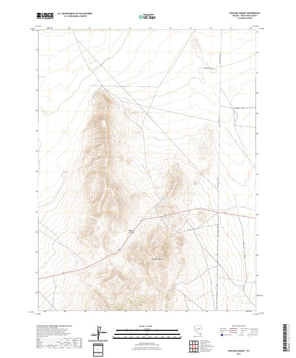
2021 Map of Pancake Summit
USGS Topo · Published 2021About this map
Pancake Summit serves as the central focal point of this high-altitude landscape in White Pine County, where the topography of the Pancake Range transitions into the broad expanse of the Newark Valley. The geography is defined by significant elevation changes, with ridges and valleys aligned in the characteristic north-south orientation of the Great Basin. A rare water source, Sulphur Spring, is located on the eastern slopes, a vital landmark for both wildlife and travelers in this arid environment. The presence of White Pine Co Road 1 and other established routes highlights the historical and contemporary importance of this pass for crossing the interior basins of Nevada. This map provides a detailed view of the township and range boundaries, including t18n r56e, which organize the land management of this remote terrain.
Find a feature on this map
11 named features on this map. Tap any name to fly to it.
Don’t see what you’re looking for? This feature index may not catch every label — zoom into the map to look around manually.
Map Details
Editions of this 2021 Pancake Summit Map
This is the sole edition of this map. No revisions or reprints were ever made.
Other maps of this area

1951 · Pancake Summit
USGS Topo · 1:62,500

1953 · Pinto Summit
USGS Topo · 1:62,500

1953 · Eureka
USGS Topo · 1:62,500

1956 · Ely
USGS Topo · 1:250,000

1957 · Buck Mountain
USGS Topo · 1:62,500

1959 · Ely
USGS Topo · 1:250,000

1963 · Ely
USGS Topo · 1:250,000

1979 · Mt. Hamilton
USGS Topo · 1:100,000

1985 · Newark Lake
USGS Topo · 1:100,000

1990 · Pancake Summit SW
USGS Topo · 1:24,000