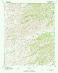
1967 Map of Pancho Rico Valley
USGS Topo · Published 1968About this map
Pancho Rico Valley is defined by a dense network of canyons and gulches in this 1967 field-checked study of the Monterey County interior. The terrain is deeply carved by Pancho Rico Creek, which serves as the primary drainage through the central portion of the map. Settlement is sparse, represented primarily by scattered ranch infrastructure like the numerous Water Tanks and Wells that dot the hillsides, supporting livestock in a dry landscape. Evidence of resource extraction is concentrated in the southwest, where several Oil Wells and a singular Oil Well appear near Lynch Canyon.
Find a feature on this map
34 named features on this map. Tap any name to fly to it.
Don’t see what you’re looking for? This feature index may not catch every label — zoom into the map to look around manually.
Map Details
Editions of this 1967 Pancho Rico Valley Map
2 editions found

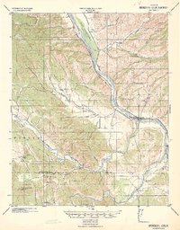
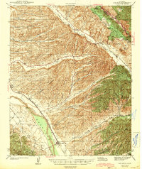
Other maps of this area

1912 · San Ardo
USGS Topo · 1:31,680

1915 · Priest Valley
USGS Topo · 1:125,000

1919 · San Miguel
USGS Topo · 1:62,500

1919 · Bradley
USGS Topo · 1:62,500

1941 · Priest Valley
USGS Topo · 1:62,500
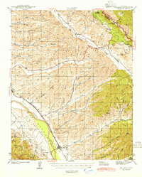
1941 · San Ardo
USGS Topo · 1:62,500
1941 · Bradley
USGS Topo · 1:62,500
1943 · San Ardo
USGS Topo · 1:62,500

1944 · Priest Valley
USGS Topo · 1:62,500

1947 · San Luis Obispo
USGS Topo · 1:250,000