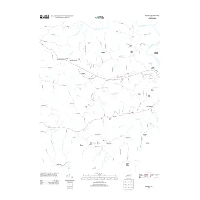
2013 Map of Panola
USGS Topo · Published 2013About this map
The Kentucky River snakes along the northern boundary of this Estill County landscape, where the terrain shifts from the river bottom to the high elevations of Lily Mountain and Big Round Mountain. Small settlements and named crossroads define the social geography of the area, including Wisemantown, Winston, and Panola. The map records a network of family-named landmarks and geographic features like Preacher Estés Mountain and Turpin Ridge, suggesting a long history of local land tenure.
Find a feature on this map
124 named features on this map. Tap any name to fly to it.
Don’t see what you’re looking for? This feature index may not catch every label — zoom into the map to look around manually.
Map Details
Editions of this 2013 Panola Map
This is the sole edition of this map. No revisions or reprints were ever made.
Other maps of this area

1892 · Richmond
USGS Topo · 1:125,000

1892 · Beattyville
USGS Topo · 1:125,000

1897 · Richmond
USGS Topo · 1:125,000

1952 · Alcorn
USGS Topo · 1:24,000

1952 · Leighton
USGS Topo · 1:24,000

1952 · Union City
USGS Topo · 1:24,000

1952 · Palmer
USGS Topo · 1:24,000

1952 · Clay City
USGS Topo · 1:24,000

1952 · Irvine
USGS Topo · 1:24,000

1952 · Bighill
USGS Topo · 1:24,000