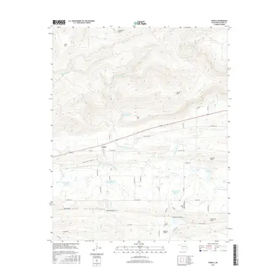
2016 Map of Panola
USGS Topo · Published 2016About this map
Panola sits at the base of a series of dramatic ridges, where the modern landscape of Latimer County intersects with early Oklahoma travel routes. The Butterfield Trl and Butterfield Rd cut across the center of the sheet, tracing the historic path through the valley of Horse Cr. The terrain is defined by a series of parallel elevations including First Mtn, Second Mtn, and Red Oak Ridge, which separate the various branches of the Fourche Maline. In the southern portion of the map, Baldwin Prairie provides a more level area for small settlements and family sites. Genealogists may find value in the presence of Brown's Prairie Cem and Baldwin Cem, which mark the community's early inhabitants near Spring Creek Gap. The numerous watershed reservoirs, such as Fourche Maline Cr Site 1 Reservoir, illustrate the modern management of these Oklahoma creek systems.
Find a feature on this map
55 named features on this map. Tap any name to fly to it.
Don’t see what you’re looking for? This feature index may not catch every label — zoom into the map to look around manually.
Map Details
Editions of this 2016 Panola Map
This is the sole edition of this map. No revisions or reprints were ever made.
Other maps of this area

1900 · Sansbois
USGS Topo · 1:125,000

1901 · Tuskahoma
USGS Topo · 1:125,000

1908 · Tuskahoma
USGS Topo · 1:125,000

1909 · Tuskahoma
USGS Topo · 1:125,000

1909 · Sans Bois
USGS Topo · 1:125,000

1911 · Sansbois
USGS Topo · 1:125,000

1940 · Red Oak
USGS Topo · 1:62,500

1943 · Red Oak
USGS Topo · 1:62,500

1946 · Fort Smith
USGS Topo · 1:250,000

1950 · Mcalester
USGS Topo · 1:250,000