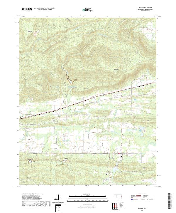
2022 Map of Panola
USGS Topo · Published 2022About this map
Panola sits at the base of a significant mountain ridge in this modern survey of Latimer County. The landscape is defined by the east-west corridor of the Butterfield Trl and Butterfield Rd, cutting through a valley between First Mtn and the southern uplands. Water management is a visible priority here, seen in the Fourche Maline Cr Site 1 Reservoir and Fourche Maline Cr Site 10 Reservoir, which regulate the flow of the Fourche Maline creek system. Genealogists will find the Brown Prairie Cem and Baldwin Cem located near Baldwin Prairie in the south, while terrain features like Buzzard Gap and Courthouse Gap indicate the natural passes used by local roads. The map captures the interface of established prairie settlements and the rising elevations of the Sans Bois and Winding Stair foothills.
Find a feature on this map
60 named features on this map. Tap any name to fly to it.
Don’t see what you’re looking for? This feature index may not catch every label — zoom into the map to look around manually.
Map Details
Editions of this 2022 Panola Map
This is the sole edition of this map. No revisions or reprints were ever made.
Other maps of this area

1900 · Sansbois
USGS Topo · 1:125,000

1901 · Tuskahoma
USGS Topo · 1:125,000

1908 · Tuskahoma
USGS Topo · 1:125,000

1909 · Tuskahoma
USGS Topo · 1:125,000

1909 · Sans Bois
USGS Topo · 1:125,000

1911 · Sansbois
USGS Topo · 1:125,000

1940 · Red Oak
USGS Topo · 1:62,500

1943 · Red Oak
USGS Topo · 1:62,500

1946 · Fort Smith
USGS Topo · 1:250,000

1950 · Mcalester
USGS Topo · 1:250,000