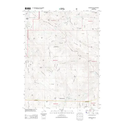
2013 Map of Panorama Peak
USGS Topo · Published 2013About this map
Estes Park and its surrounding mountain terrain are defined by a complex network of canyons, ridges, and water engineering projects within the Roosevelt National Forest. Significant infrastructure includes the Olympus Tunnel and Pole Hill Tunnel, which facilitate water movement through the high-elevation landscape. The eastern edge of the community features the Community Church of the Rockies Cem near the shores of Lake Estes.
Find a feature on this map
79 named features on this map. Tap any name to fly to it.
Don’t see what you’re looking for? This feature index may not catch every label — zoom into the map to look around manually.
Map Details
Editions of this 2013 Panorama Peak Map
This is the sole edition of this map. No revisions or reprints were ever made.
Other maps of this area

1902 · Boulder
USGS Topo · 1:62,500

1904 · Boulder
USGS Topo · 1:62,500

1905 · Mount Olympus
USGS Topo · 1:62,500

1907 · Mount Olympus
USGS Topo · 1:62,500

1915 · Longs Peak
USGS Topo · 1:125,000

1919 · Rocky Mountain National Park
USGS Topo · 1:125,000

1954 · Greeley
USGS Topo · 1:250,000

1957 · Greeley
USGS Topo · 1:250,000

1957 · Allens Park
USGS Topo · 1:24,000
1957 · Raymond
USGS Topo · 1:24,000