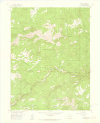
1957 Map of Raymond
USGS Topo · Published 1959About this map
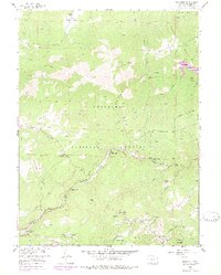
Roosevelt National Forest dominates this mid-century landscape, where the canyons and ridges of Boulder County reveal a history of early Colorado ranching and extraction. The forks of the St. Vrain Creek—North, Middle, and South—serve as the primary corridors for development, including the small mountain communities of Raymond and Riverside. Higher on the slopes, the map identifies the location of the Bunce Sch (Aband), a relic of a more populated era in these remote foothills.
Find a feature on this map
51 named features on this map. Tap any name to fly to it.
Don’t see what you’re looking for? This feature index may not catch every label — zoom into the map to look around manually.
Map Details
Editions of this 1957 Raymond Map
6 editions found
Other maps of this area

1902 · Boulder
USGS Topo · 1:62,500

1904 · Boulder
USGS Topo · 1:62,500

1905 · Mount Olympus
USGS Topo · 1:62,500

1907 · Mount Olympus
USGS Topo · 1:62,500

1915 · Longs Peak
USGS Topo · 1:125,000

1919 · Rocky Mountain National Park
USGS Topo · 1:125,000

1954 · Greeley
USGS Topo · 1:250,000

1957 · Greeley
USGS Topo · 1:250,000
1957 · Boulder
USGS Topo · 1:24,000

1957 · Allens Park
USGS Topo · 1:24,000