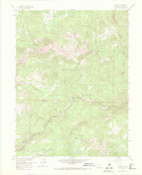
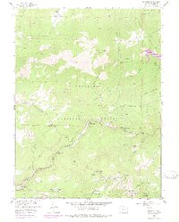
1957 Map of Raymond
USGS Topo · Published 1971About this map
Raymond and Riverside serve as the primary hubs of activity along the canyon floors in this 1957 field-checked study of the Front Range. The landscape is defined by the convergence of the Middle St Vrain Creek and South St Vrain Creek, where early settlements and ranching outposts like Big Elk Ranch took hold. The map captures a moment when local mining history was still clearly etched into the terrain, identifying the Argo Mine and Burlington Mine tucked away on the slopes.
Find a feature on this map
44 named features on this map. Tap any name to fly to it.
Don’t see what you’re looking for? This feature index may not catch every label — zoom into the map to look around manually.
Map Details
Editions of this 1957 Raymond Map
6 editions found
Other maps of this area

1902 · Boulder
USGS Topo · 1:62,500

1904 · Boulder
USGS Topo · 1:62,500

1905 · Mount Olympus
USGS Topo · 1:62,500

1907 · Mount Olympus
USGS Topo · 1:62,500

1915 · Longs Peak
USGS Topo · 1:125,000

1919 · Rocky Mountain National Park
USGS Topo · 1:125,000

1954 · Greeley
USGS Topo · 1:250,000

1957 · Greeley
USGS Topo · 1:250,000
1957 · Boulder
USGS Topo · 1:24,000

1957 · Allens Park
USGS Topo · 1:24,000