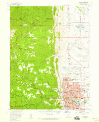
1957 Map of Boulder
USGS Topo · Published 1959About this map
Boulder and the surrounding Front Range foothills are captured here during a period of significant post-war growth. The eastern edge of the map shows the expanding residential grid, anchored by the University of Colorado and numerous neighborhood institutions like Casey Jr High Sch and the County Hospital. In sharp contrast, the western half of the sheet reveals the industrial and mining heritage of the canyon country, where the Roosevelt National Forest boundary meets a landscape dotted with historic claims. Small mining-era settlements such as Sunshine and Crisman are still distinct, surrounded by dozens of named mines including the Tennessee Mine and American Mine. The complex water management of the region is evident through the network of the Table Mountain Ditch and Farmers Ditch, which redirect snowmelt from Fourmile Canyon and Lefthand Creek toward the valley below.
Find a feature on this map
116 named features on this map. Tap any name to fly to it.
Don’t see what you’re looking for? This feature index may not catch every label — zoom into the map to look around manually.
Map Details
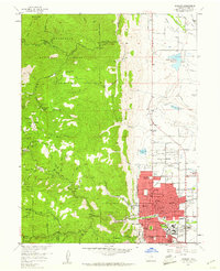
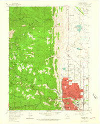
Editions of this 1957 Boulder Map
3 editions found
Other maps of this area

1899 · West Denver
USGS Topo · 1:125,000

1902 · Boulder
USGS Topo · 1:62,500

1904 · Niwot
USGS Topo · 1:62,500

1904 · Boulder
USGS Topo · 1:62,500

1906 · Blackhawk
USGS Topo · 1:62,500

1942 · Eldorado Springs
USGS Topo · 1:24,000

1942 · Louisville
USGS Topo · 1:31,680

1942 · Tungsten
USGS Topo · 1:24,000

1944 · Eldorado Springs
USGS Topo · 1:31,680
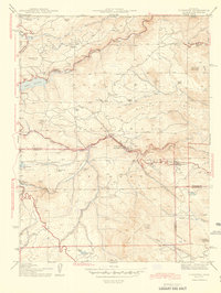
1944 · Tungsten
USGS Topo · 1:31,680