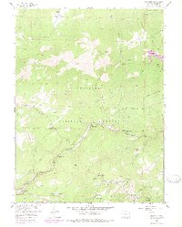
1957 Map of Raymond
USGS Topo · Published 1978About this map
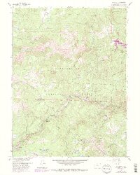
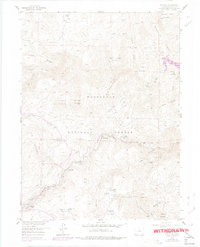
Riverside and Raymond anchor this mid-century topographic profile of the Front Range foothills, where the confluence of mountain creeks and the expansion of the Roosevelt National Forest define the landscape. The map captures a transition in local history, documenting the presence of the Bunce Sch (Aband) and former settlements like Balarat (Site) and Gresham (Site). The southern portion of the quadrangle is particularly rich for mining historians, showing the location of the Argo Mine, Burlington Mine, and Emmett Mine near Porphyry Mountain. Water management and recreation are evident through the Button Rock Reservoir and the Glacier View Camp. Topographical landmarks such as North Sheep Mountain and The Ironclads dominate the terrain, illustrating the complex drainage patterns of North St Vrain Creek and its many tributaries during the late 1950s.
Find a feature on this map
50 named features on this map. Tap any name to fly to it.
Don’t see what you’re looking for? This feature index may not catch every label — zoom into the map to look around manually.
Map Details
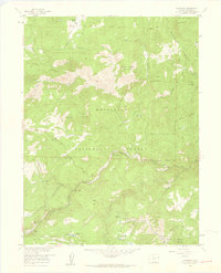
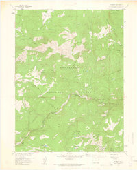
Editions of this 1957 Raymond Map
6 editions found
Other maps of this area

1902 · Boulder
USGS Topo · 1:62,500

1904 · Boulder
USGS Topo · 1:62,500

1905 · Mount Olympus
USGS Topo · 1:62,500

1907 · Mount Olympus
USGS Topo · 1:62,500

1915 · Longs Peak
USGS Topo · 1:125,000

1919 · Rocky Mountain National Park
USGS Topo · 1:125,000

1954 · Greeley
USGS Topo · 1:250,000

1957 · Greeley
USGS Topo · 1:250,000
1957 · Boulder
USGS Topo · 1:24,000

1957 · Allens Park
USGS Topo · 1:24,000