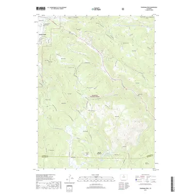
2019 Map of Panorama Peak
USGS Topo · Published 2019About this map
Irvin Homestead and the Engert Homestead stand as markers of early ranching and settlement within the rugged landscape of the Roosevelt National Forest. This high-altitude terrain is defined by its complex drainage systems, where the N Fork Little Thompson River and W Fork Little Thompson River carve through the granite geography. The eastern edge of Estes Park is visible, transitioning from residential streets like Johnsen Ln into the wilder reaches of Muggins Gulch and Hell Canyon.
Find a feature on this map
89 named features on this map. Tap any name to fly to it.
Don’t see what you’re looking for? This feature index may not catch every label — zoom into the map to look around manually.
Map Details
Editions of this 2019 Panorama Peak Map
This is the sole edition of this map. No revisions or reprints were ever made.
Other maps of this area

1902 · Boulder
USGS Topo · 1:62,500

1904 · Boulder
USGS Topo · 1:62,500

1905 · Mount Olympus
USGS Topo · 1:62,500

1907 · Mount Olympus
USGS Topo · 1:62,500

1915 · Longs Peak
USGS Topo · 1:125,000

1919 · Rocky Mountain National Park
USGS Topo · 1:125,000

1954 · Greeley
USGS Topo · 1:250,000

1957 · Greeley
USGS Topo · 1:250,000

1957 · Allens Park
USGS Topo · 1:24,000
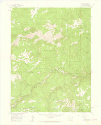
1957 · Raymond
USGS Topo · 1:24,000