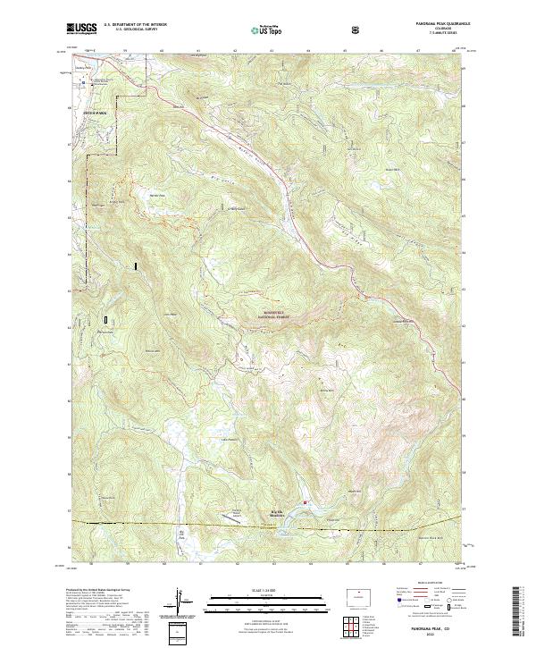
2022 Map of Panorama Peak
USGS Topo · Published 2022About this map
Estes Park and its surrounding mountain landscapes are captured in this 2022 survey, illustrating the gateway to the high peaks at the edge of the Roosevelt National Forest. The map details the transition from the settled streets of the town, including the Community Church of the Rockies and Columbarium, to the winding gulches and peaks that define the front range. A significant network of trails, such as the Irvin Homestead Trl, Engert Homestead Trl, and Hill Homestead Trl, points to the area's legacy of early settlement and ranching. These routes weave through landmarks like Lion Head and Kenny Mtn, connecting historic homestead sites with more modern developments like Big Elk Meadows. The presence of the Elk Park Ranch Airport and various reservoirs like Mirror Lake highlight the mix of recreational aviation and water management in this high-altitude environment.
Find a feature on this map
94 named features on this map. Tap any name to fly to it.
Don’t see what you’re looking for? This feature index may not catch every label — zoom into the map to look around manually.
Map Details
Editions of this 2022 Panorama Peak Map
This is the sole edition of this map. No revisions or reprints were ever made.
Other maps of this area

1902 · Boulder
USGS Topo · 1:62,500

1904 · Boulder
USGS Topo · 1:62,500

1905 · Mount Olympus
USGS Topo · 1:62,500

1907 · Mount Olympus
USGS Topo · 1:62,500

1915 · Longs Peak
USGS Topo · 1:125,000

1919 · Rocky Mountain National Park
USGS Topo · 1:125,000

1954 · Greeley
USGS Topo · 1:250,000

1957 · Greeley
USGS Topo · 1:250,000

1957 · Allens Park
USGS Topo · 1:24,000
1957 · Raymond
USGS Topo · 1:24,000