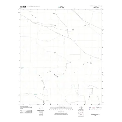
2010 Map of Panther Canyon
USGS Topo · Published 2010About this map
The Apache Mountains dominate the southern portion of this landscape, where the rugged terrain is carved by the deep drainage of Panther Canyon and Red Tank Canyon. In this arid stretch of Culberson County, the availability of water is the primary driver of human activity, evidenced by the strategic placement of stock tanks such as Buckhorn Tank and Red Tank. Ranching infrastructure defines the northern plains, where Foster Ranch serves as a central hub connected by FM 2424. A network of named water sources, including Jackson Windmill, Two Section Windmill, and Dagger Windmill, supports the agricultural operations across the flats. The map also traces the significant path of Clayton Draw, showing how seasonal water flow has shaped the local geography and road placement like Jones-Kent Rd.
Find a feature on this map
18 named features on this map. Tap any name to fly to it.
Don’t see what you’re looking for? This feature index may not catch every label — zoom into the map to look around manually.
Map Details
Editions of this 2010 Panther Canyon Map
This is the sole edition of this map. No revisions or reprints were ever made.
Other maps of this area

1928 · Kent
USGS Topo · 1:125,000

1954 · Van Horn
USGS Topo · 1:250,000

1958 · Van Horn
USGS Topo · 1:250,000
1970 · Boracho
USGS Topo · 1:24,000
1970 · East Hunter Canyon
USGS Topo · 1:24,000
1970 · Panther Canyon
USGS Topo · 1:24,000
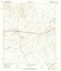
1970 · Kent
USGS Topo · 1:24,000
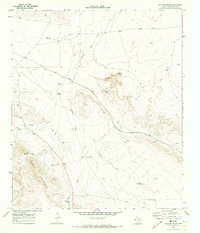
1970 · Iron Mountain
USGS Topo · 1:24,000
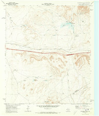
1970 · Fencepost Draw
USGS Topo · 1:24,000
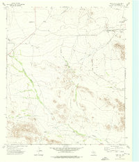
1973 · Dome Hill
USGS Topo · 1:24,000