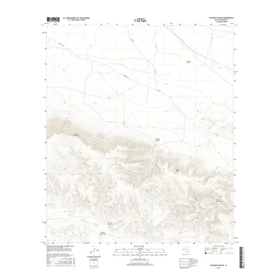
2016 Map of Panther Canyon
USGS Topo · Published 2016About this map
The Apache Mountains dominate the southwestern portion of this West Texas landscape, giving way to an intricate system of dry watercourses that drain the arid terrain. Arroyos and canyons such as Panther Canyon and Dagger Draw illustrate the natural drainage patterns that have carved through the high-desert plateau. This 2016 survey documents the infrastructure required for ranching and transit in a sparsely populated region, including isolated water sources like Red Tank and the seasonal path of Red Tank Canyon.
Find a feature on this map
11 named features on this map. Tap any name to fly to it.
Don’t see what you’re looking for? This feature index may not catch every label — zoom into the map to look around manually.
Map Details
Editions of this 2016 Panther Canyon Map
This is the sole edition of this map. No revisions or reprints were ever made.
Other maps of this area

1928 · Kent
USGS Topo · 1:125,000

1954 · Van Horn
USGS Topo · 1:250,000

1958 · Van Horn
USGS Topo · 1:250,000
1970 · Boracho
USGS Topo · 1:24,000
1970 · East Hunter Canyon
USGS Topo · 1:24,000
1970 · Panther Canyon
USGS Topo · 1:24,000
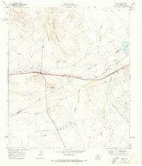
1970 · Kent
USGS Topo · 1:24,000
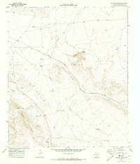
1970 · Iron Mountain
USGS Topo · 1:24,000
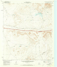
1970 · Fencepost Draw
USGS Topo · 1:24,000
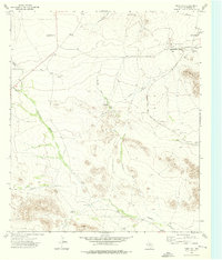
1973 · Dome Hill
USGS Topo · 1:24,000