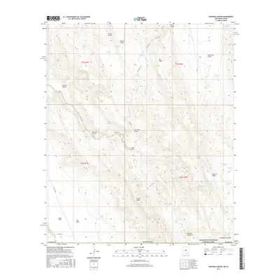
2017 Map of Panther Canyon
USGS Topo · Published 2017About this map
Guadalupe Mountains National Park and the rugged high-desert terrain of the Brokeoff Mountains dominate this high-clearance ranching and wilderness landscape in southernmost Otero County. The scarcity of natural surface water is evident in the naming of critical locations like the Indian Water Hole, Deadman Water Hole, and the O Bar U Waterhole, which historically sustained travelers and livestock across the arid range. To the west, the land drops into the Salt Basin and Crow Flats, where massive topographic features like West Dog Canyon and Panther Canyon carve through the plateau. Ranching infrastructure remains the primary human footprint, marked by a network of isolated tanks such as Cork Tanks and X-Bar Tank, alongside winding county roads like Co RD g013 that follow the natural drainage of the draws.
Find a feature on this map
43 named features on this map. Tap any name to fly to it.
Don’t see what you’re looking for? This feature index may not catch every label — zoom into the map to look around manually.
Map Details
Editions of this 2017 Panther Canyon Map
This is the sole edition of this map. No revisions or reprints were ever made.
Other maps of this area

1933 · Guadalupe Peak
USGS Topo · 1:48,000

1935 · El Paso Gap
USGS Topo · 1:62,500

1936 · El Paso Gap
USGS Topo · 1:48,000

1940 · El Paso Gap
USGS Topo · 1:62,500

1940 · Guadalupe Peak
USGS Topo · 1:62,500

1951 · Dell City
USGS Topo · 1:62,500

1954 · Carlsbad
USGS Topo · 1:250,000

1954 · Van Horn
USGS Topo · 1:250,000

1958 · Van Horn
USGS Topo · 1:250,000

1958 · Carlsbad
USGS Topo · 1:250,000